


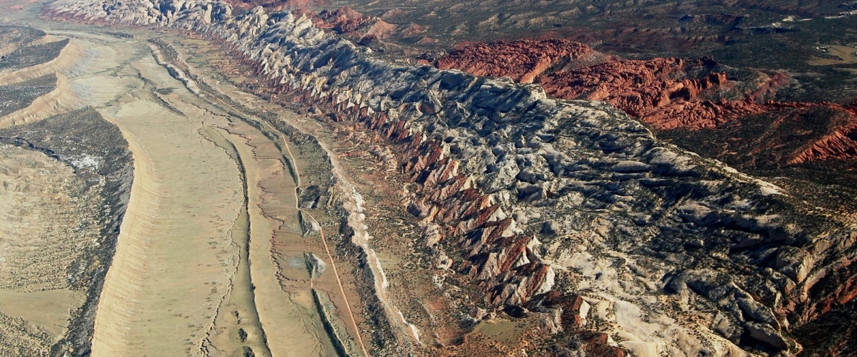
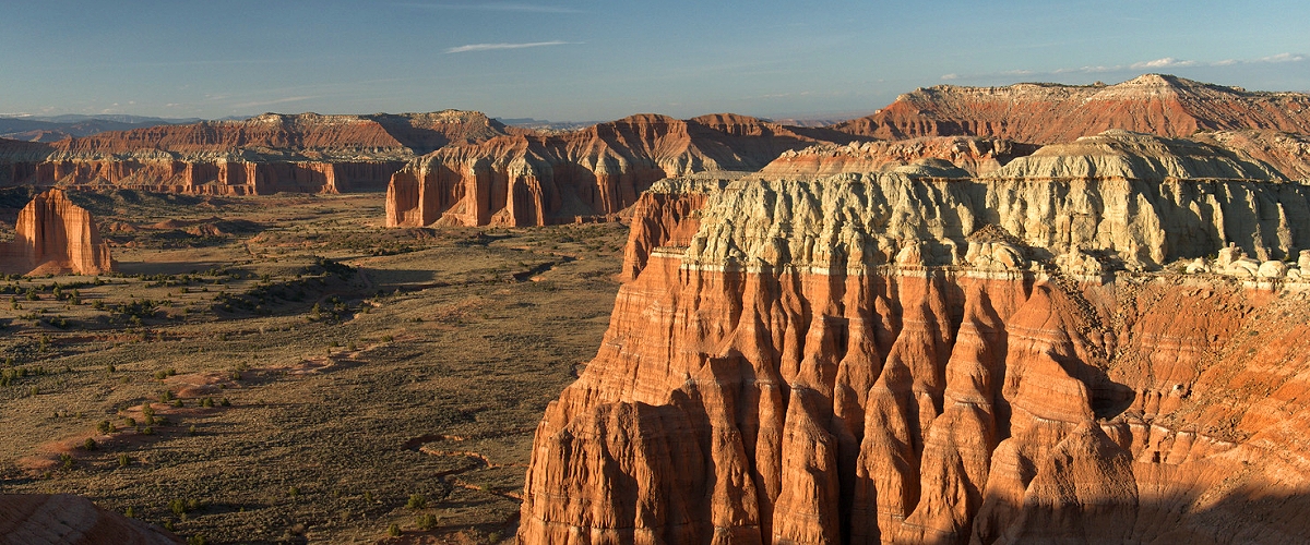
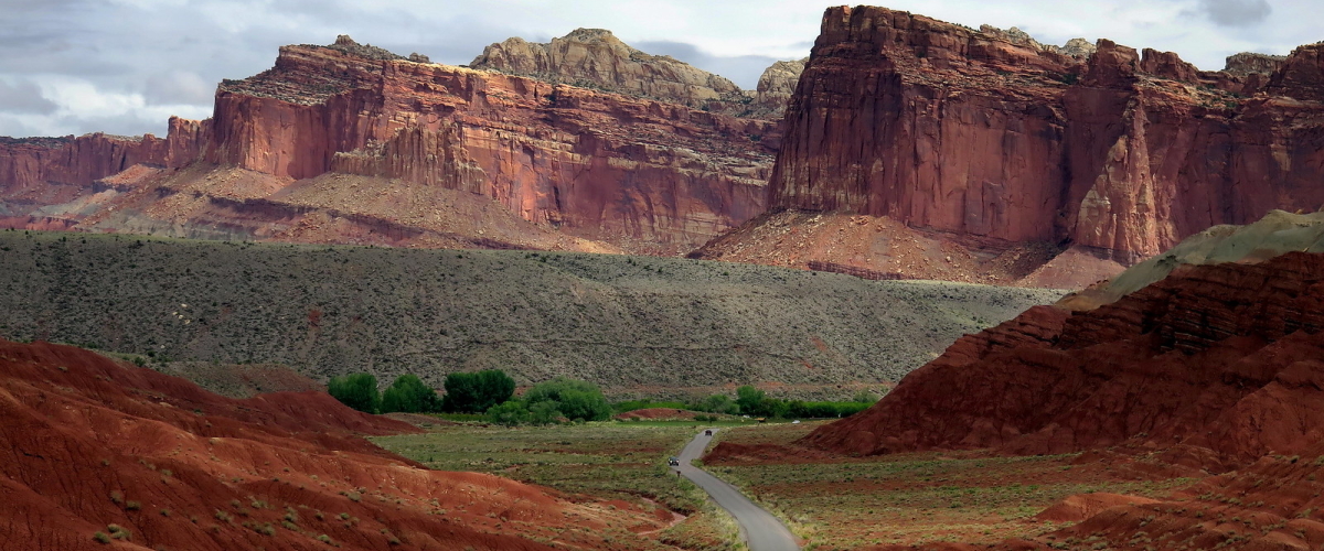
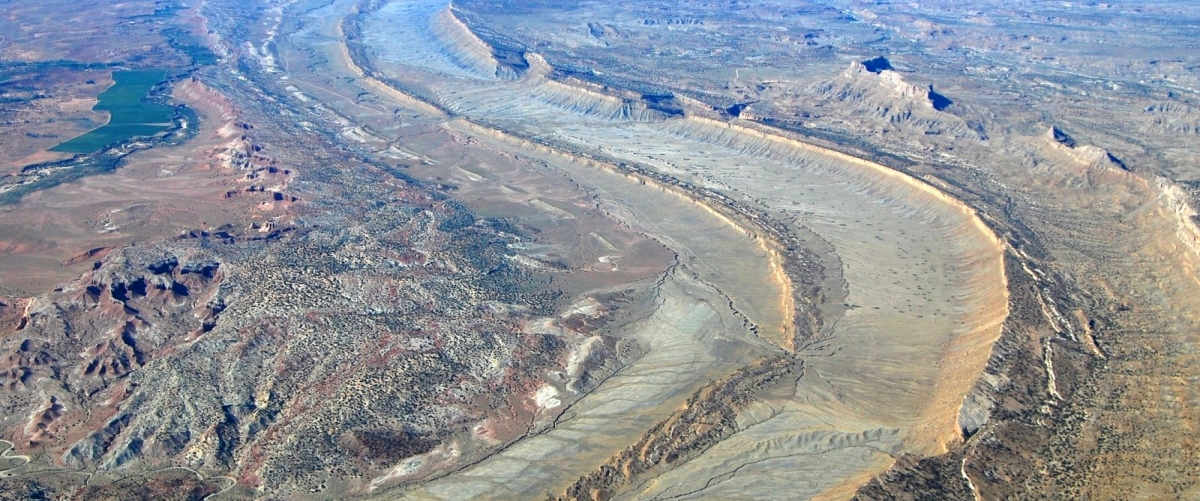
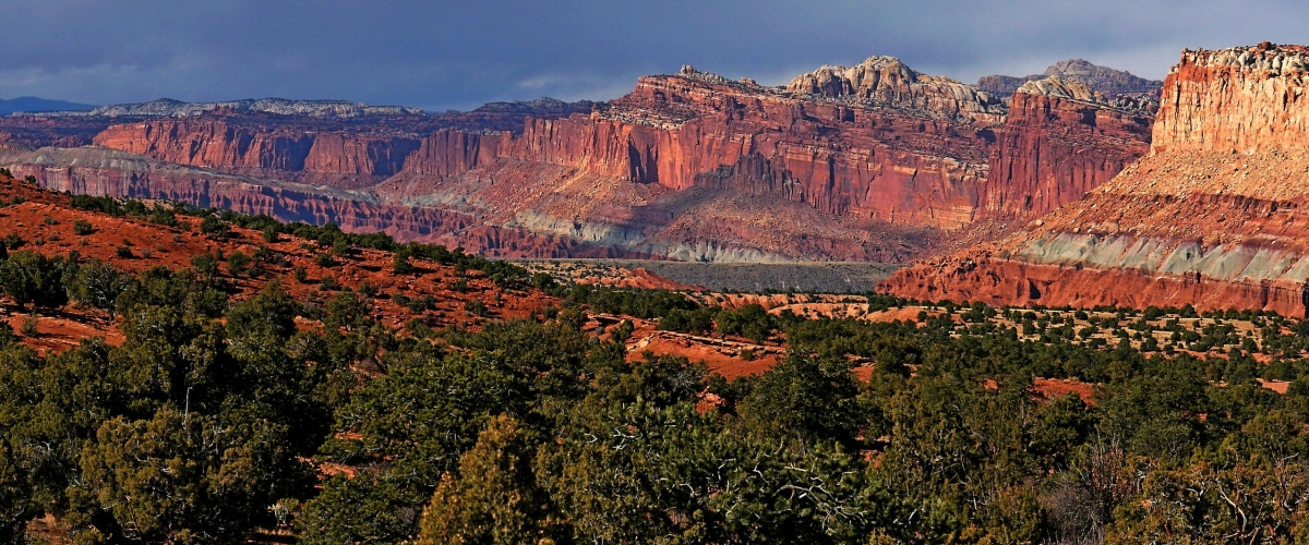
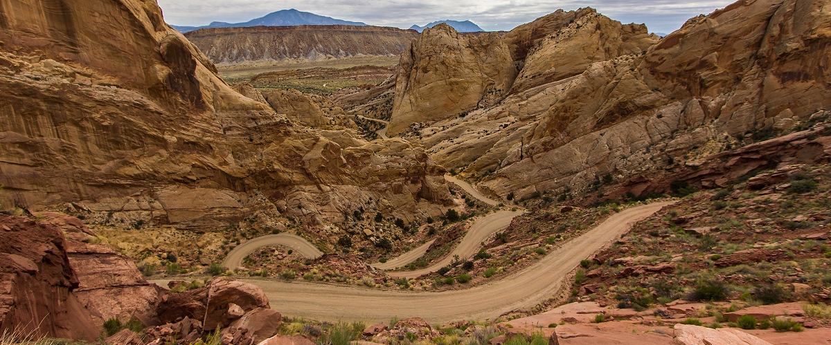
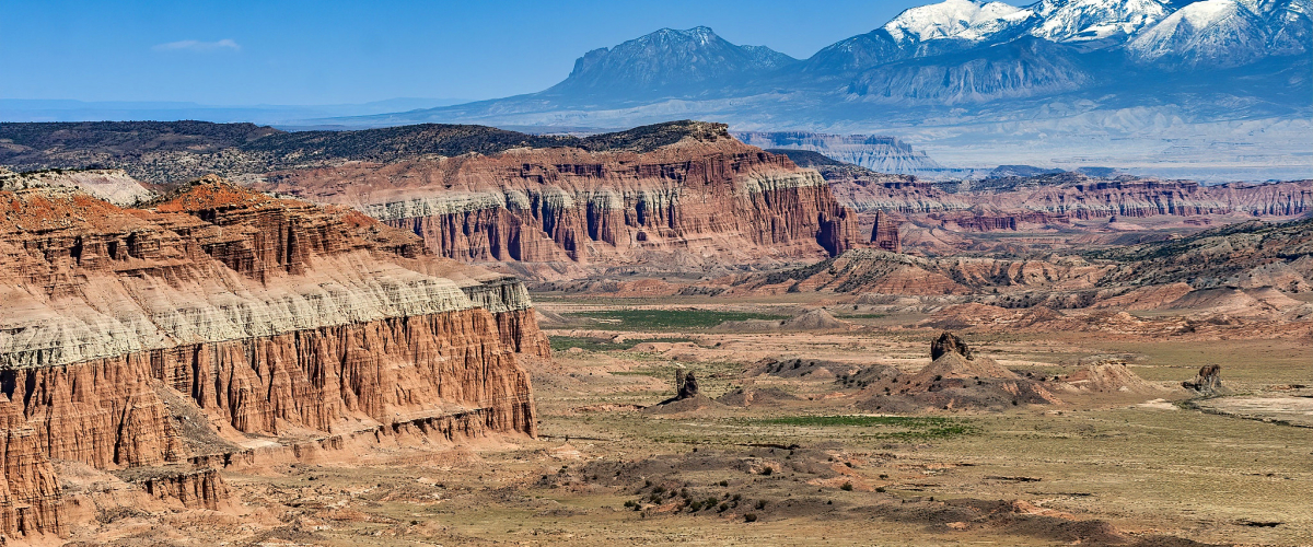
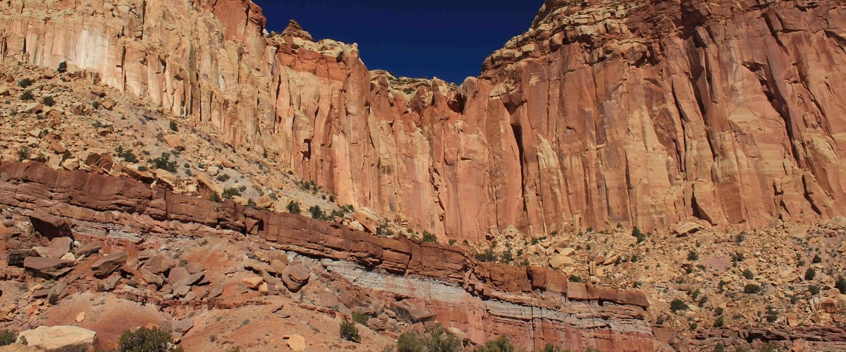
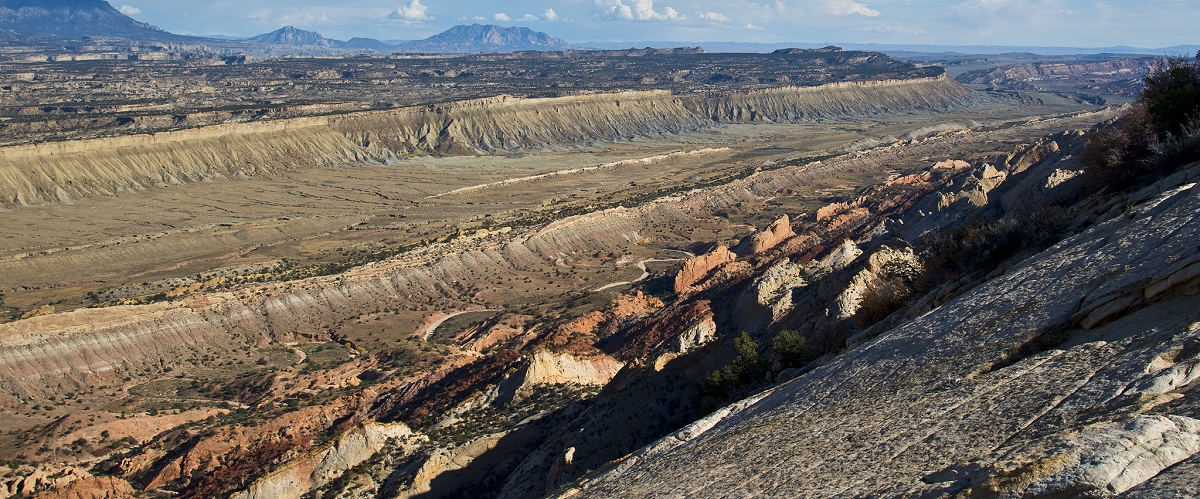
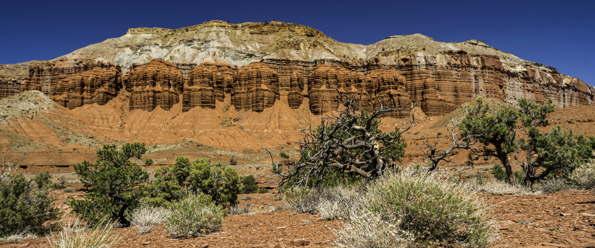
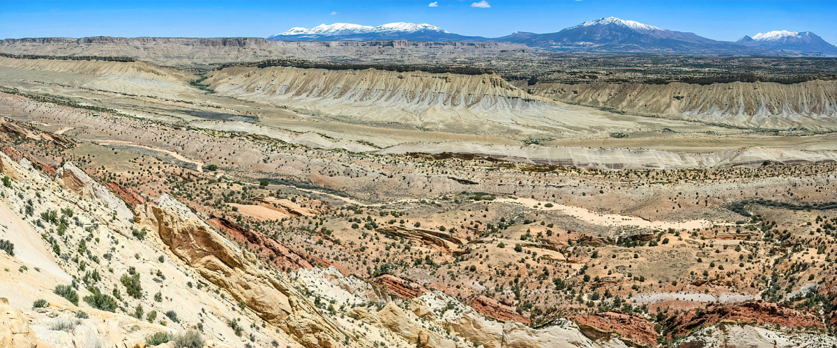
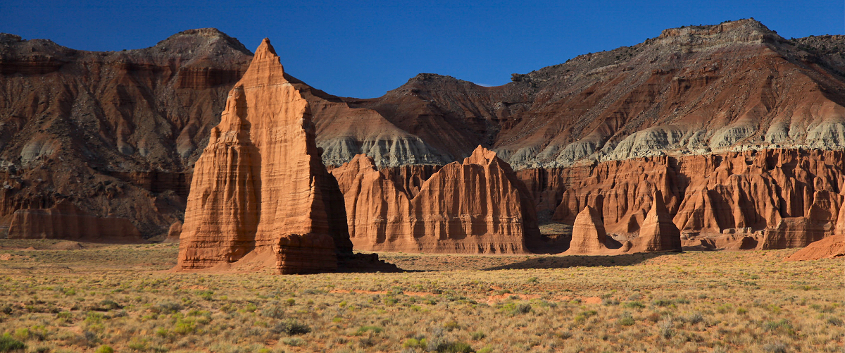
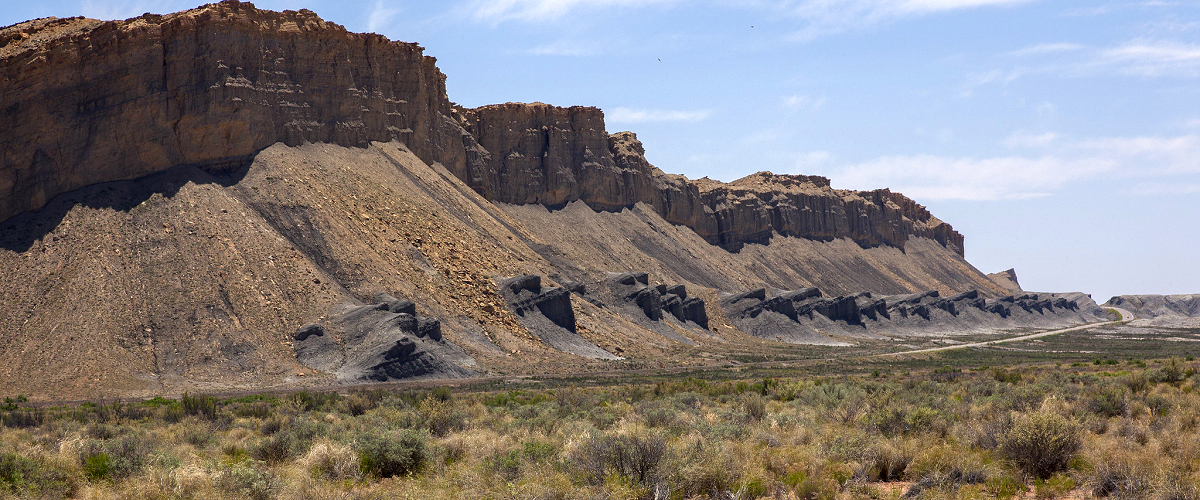
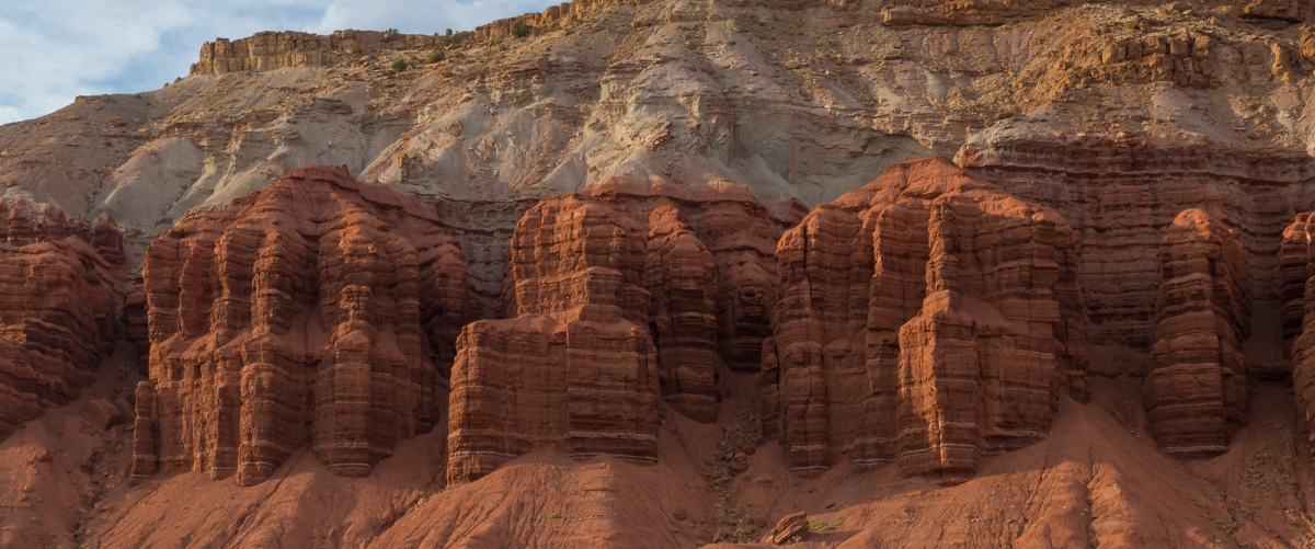
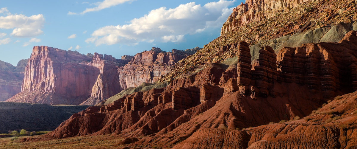
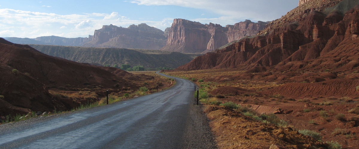
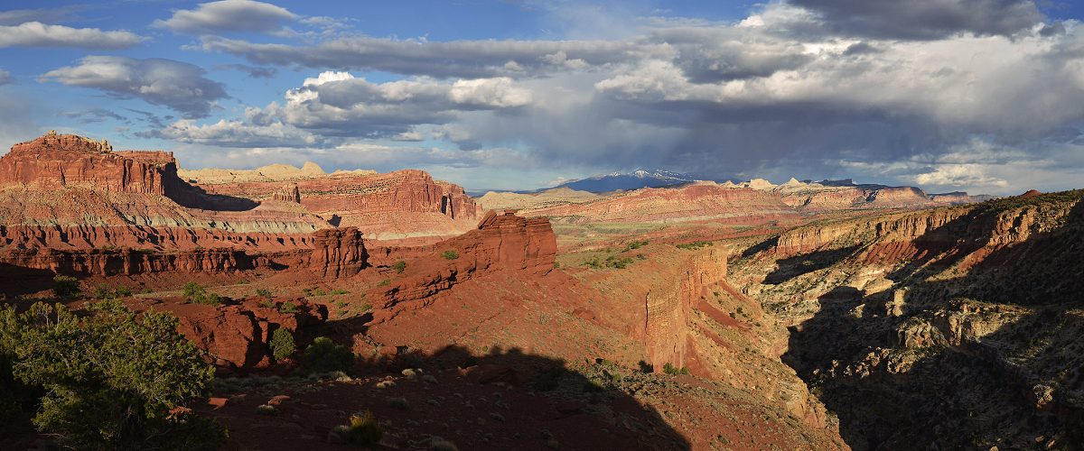
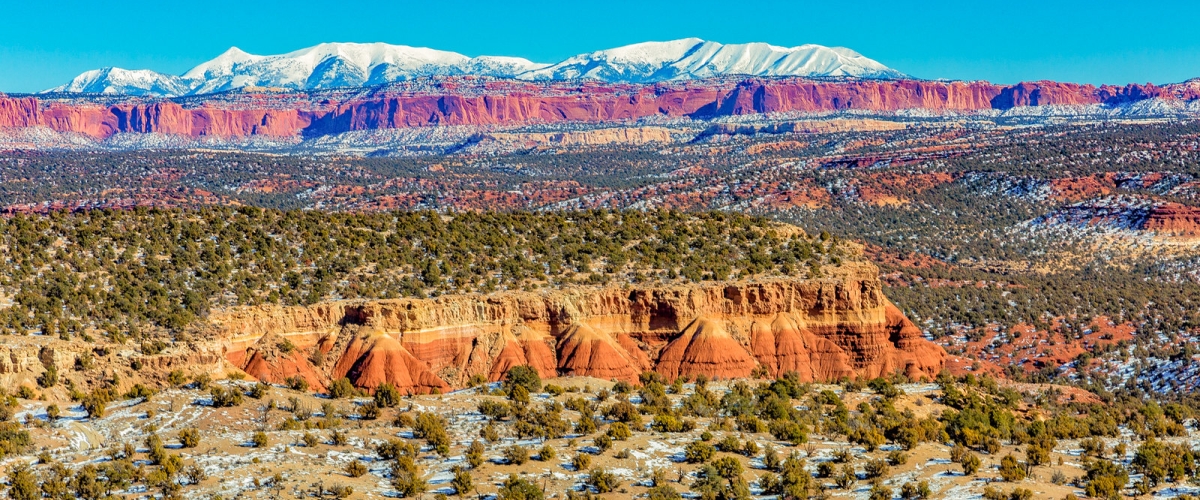
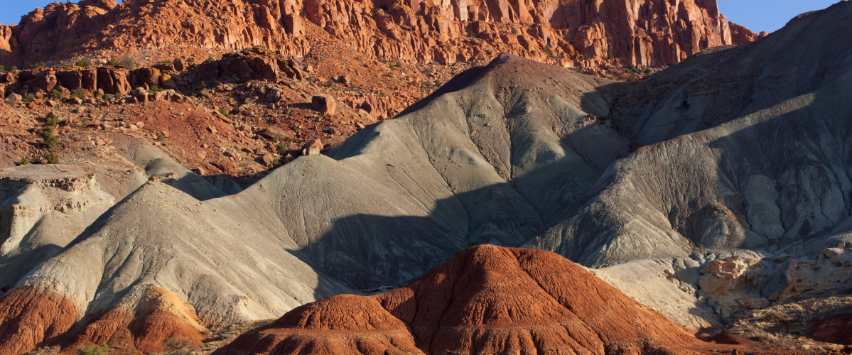
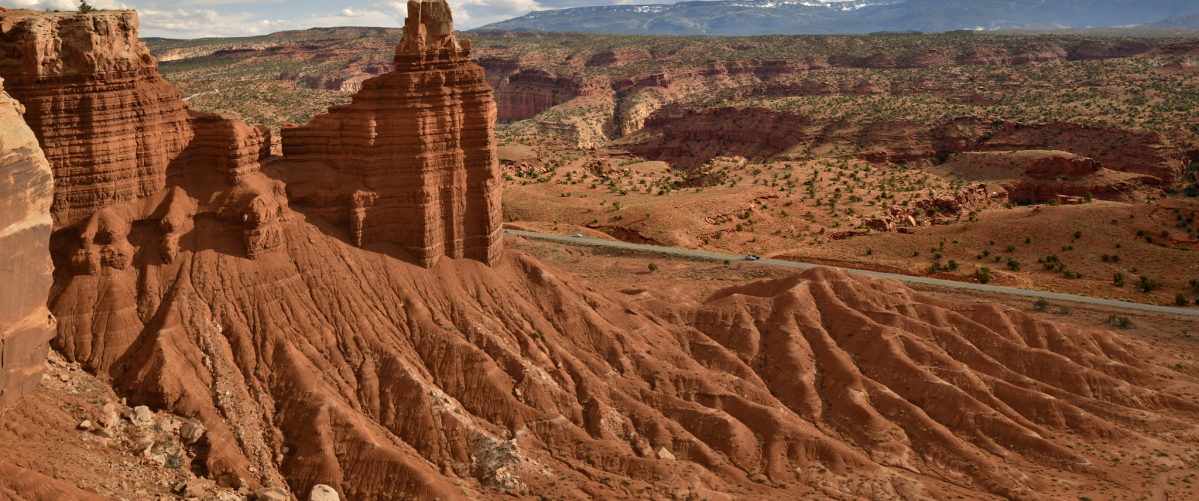
Capitol Reef National Park encompasses the Waterpocket Fold, a warp in the Earth's crust that is 65 million years old. It is the largest exposed monocline in North America. In this fold, newer and older layers of earth folded over each other. The park is filled with brilliantly colored sandstone cliffs, gleaming white domes, and contrasting layers of stone and earth. The area was named for a line of white domes and cliffs of Navajo Sandstone, each of which looks somewhat like the United States Capitol building, that run from the Fremont River to Pleasant Creek on the Waterpocket Fold. The fold forms a north-to-south barrier that has barely been breached by roads. Early settlers referred to parallel impassable ridges as "reefs", from which the park gets the second half of its name. State Route 24 cuts through the park traveling east and west between Canyonlands National Park and Bryce Canyon National Park, but few other paved roads invade the rugged landscape. The park is filled with canyons, cliffs, towers, domes, and arches. The Fremont River has cut canyons through parts of the Waterpocket Fold, but most of the park is arid desert.

ENJOY THIS EXTENDED VIEW OF CAPITOL REEF NATIONAL PARK
Explore Utah was created and is maintained by Explore Utah Online ˋ2020-2026 (All Rights Reserved) This website was created for the enjoyment of Utah. If you believe copyrighted work is available on this website in a way that constitutes a copyright infringement please contact me for removal. All rights to the images and other materials used belong to their respective owners. I do not claim ownership over any third-party content used. Photos on this website are used for educational purposes only and used with permission and courtesy of: Scott Taylor - Albert Wirtz - Angela Banfield - Catherine Colella - Chase Bartholomew - Danielle Yung - Elliott Hammer - Francisco Ovies - George Gibbs - Greg Kebbekus - Hilary Bralove - Jacob Moogberg - Jim Paton - Jim and Nina Pollock - John Dahlstet - Jay Luber - Jessica Holdaway - John Hammond - John Dahlstet - Logan Selinski - Logan Selinski - Michelle Leale - Mae Thamer - Mark Thompson - Mia & Steve Mestdagh - Michelle Leale - Randy Baumhover - Sven Hðhle - Shawn Anthony - Thomas Eckhardt - Thomas Jundt - University Of Utah - Bureau of Land Management - Utah Education Network - Utah History Encyclopedia - Utah League of Cities and Towns - Utah Geological Survey - Ski Utah - Free To Use Photo Websites: Unsplash - Pexels - Freepik - Pixabay - iStock - ShutterStock - Burst - Flickr - PickPik - Rawpixel - HistoryPictureArchive This website contain links to third party websites. The linked sites are not under the control of this website and is not responsible for the contents of any linked website. These links are provided as a convenience only and shall not be construed as an endorsement of, sponsorship of, or affiliated with the linked website ... Send your comments or questions to webmaster@exploreutah.online