


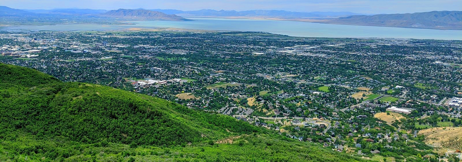
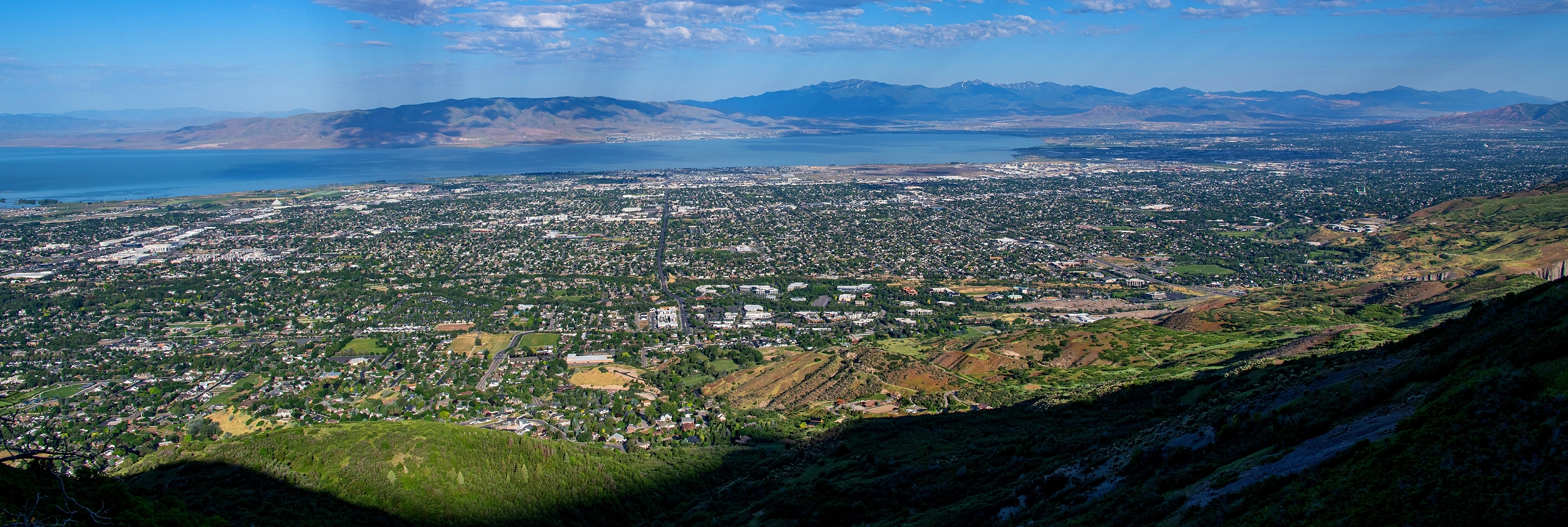
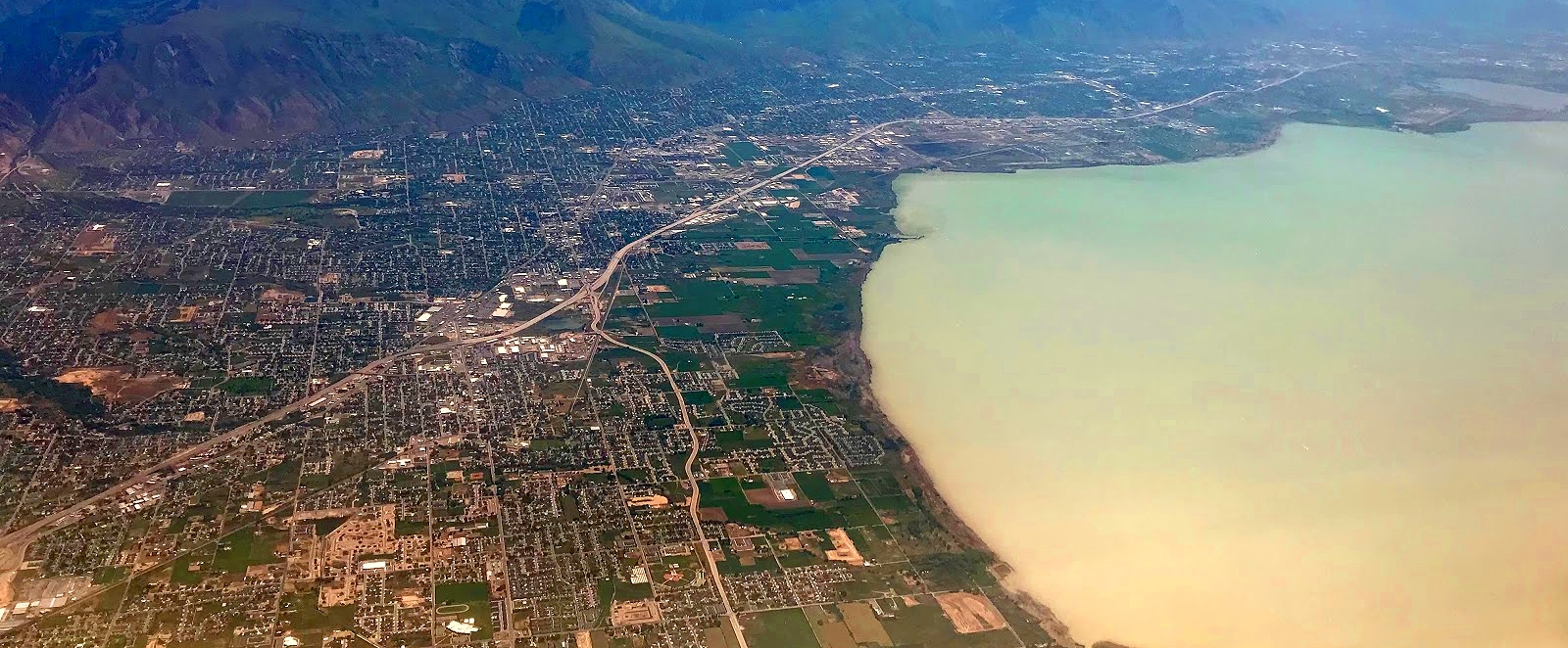
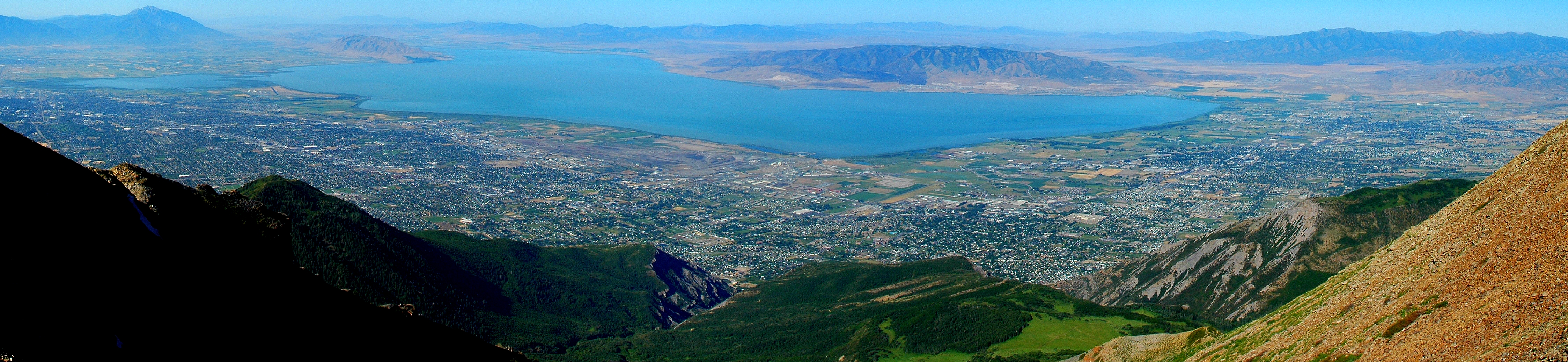
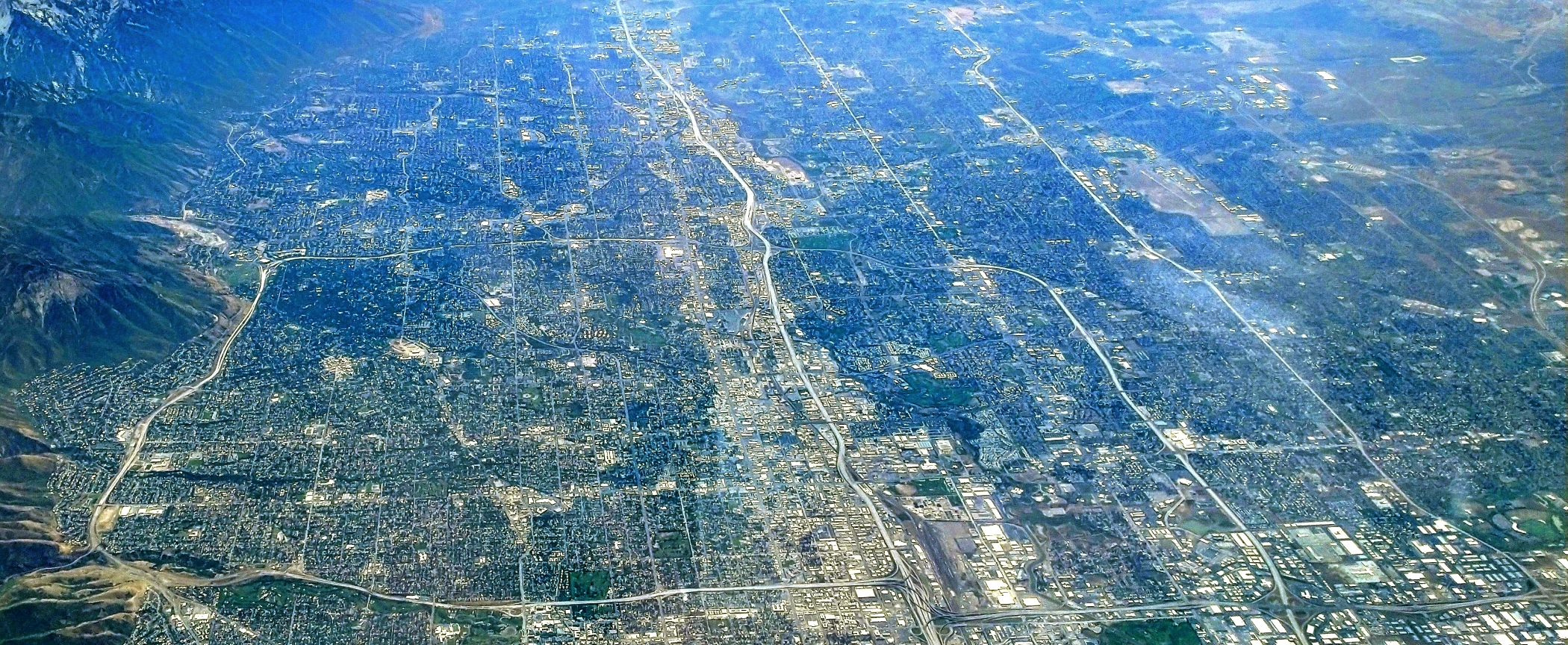
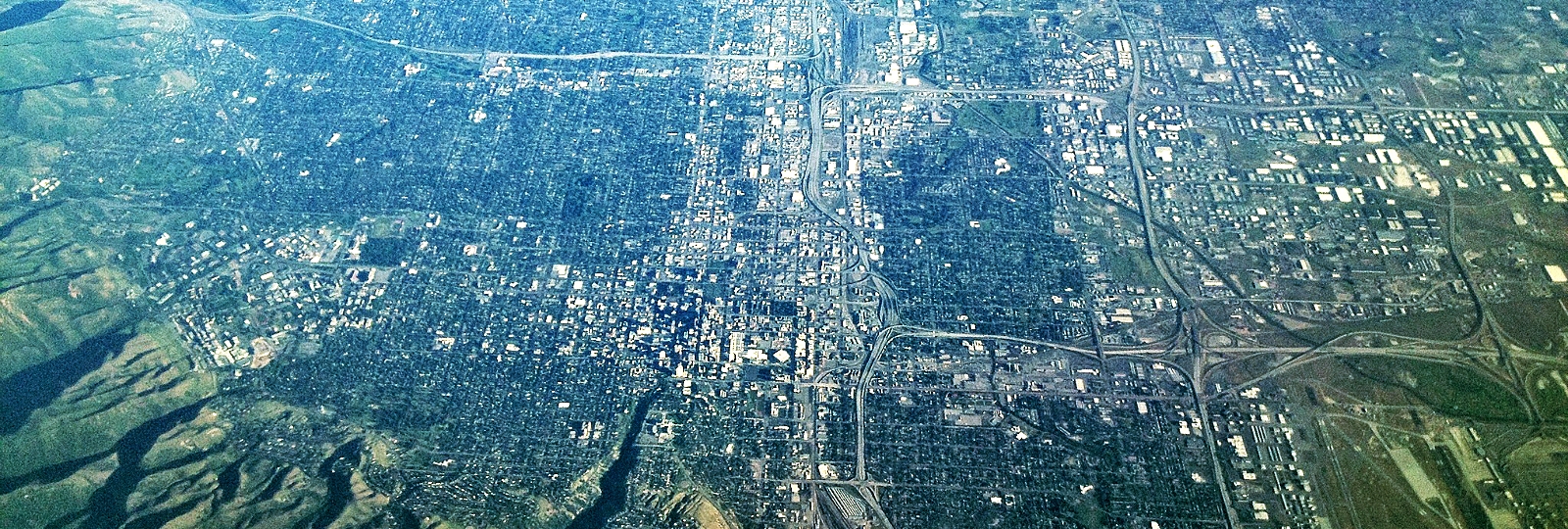
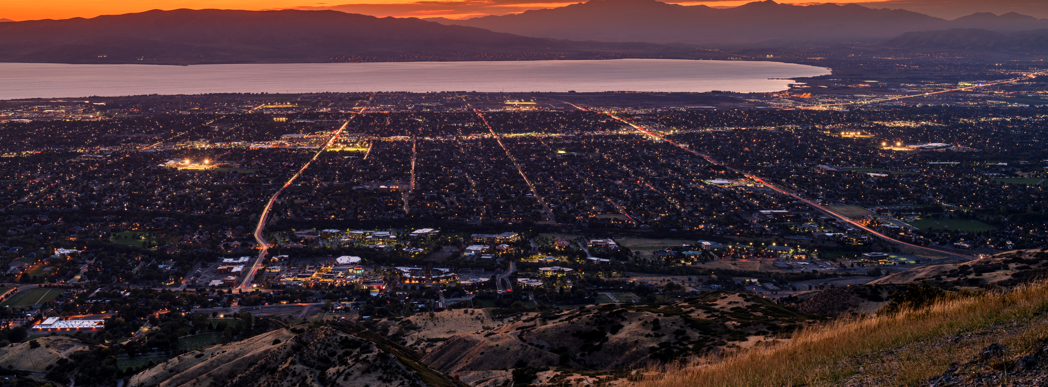
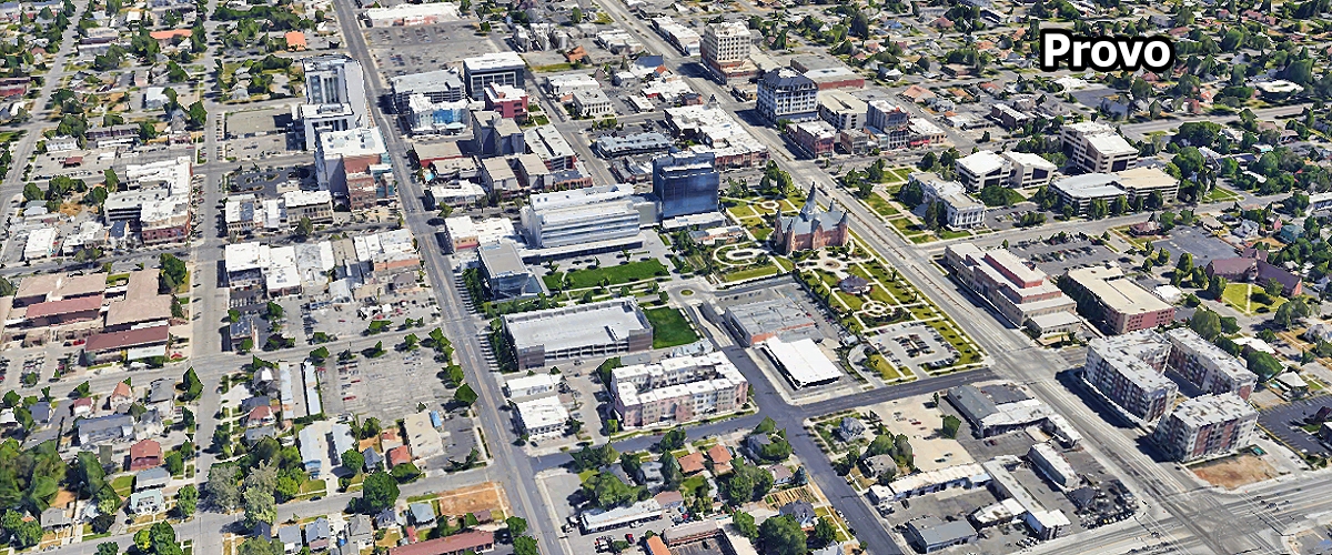
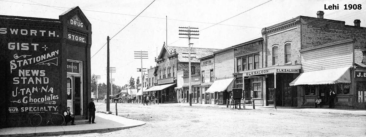
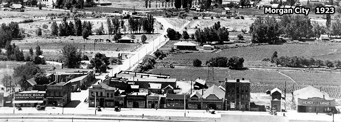
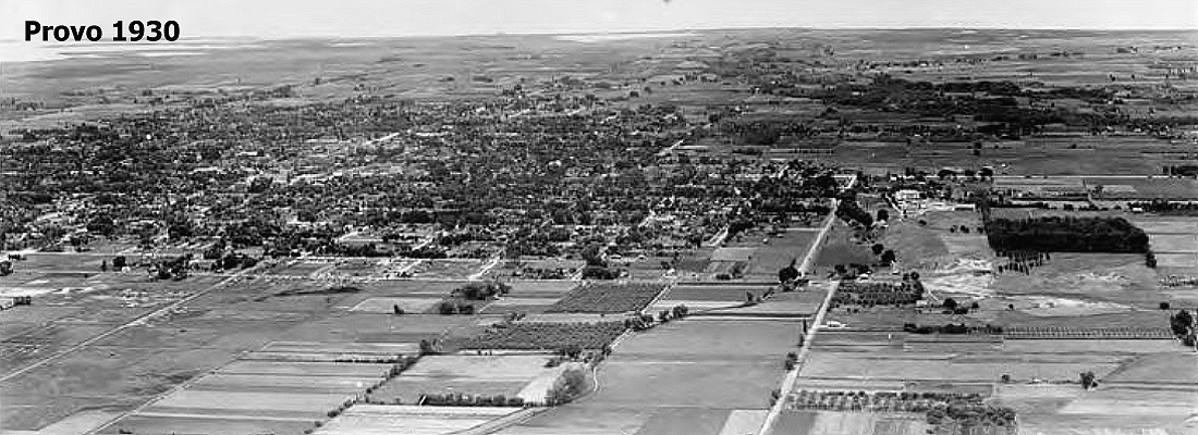
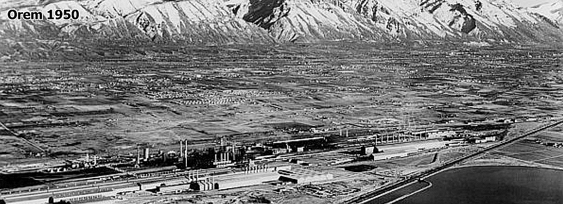
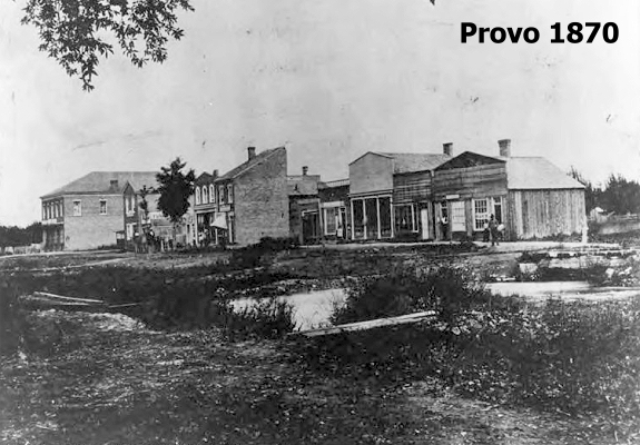
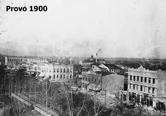
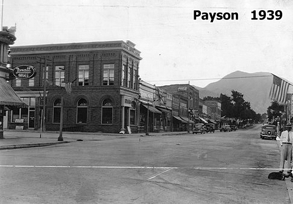
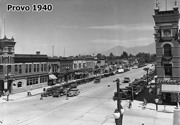
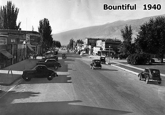
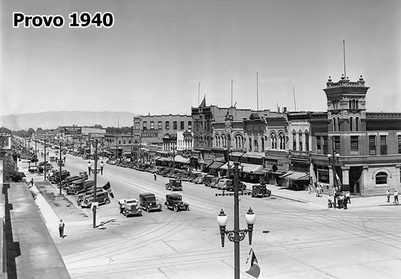
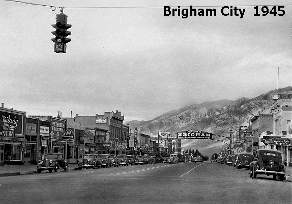
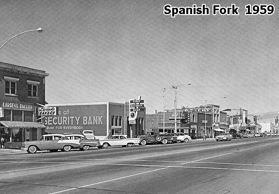
Since the earliest days of Mormon settlement, the majority of Utah's population has chosen to settle along the Wasatch range's western front, where numerous river drainages exit the mountains. The mountains were a vital source of water, timber, and granite for early settlers. Today they continue to serve as the primary source of water for the populous Wasatch Front, and to provide year-round recreational opportunities to residents and visitors alike. Utah's population, which is close to the 3½ million mark, is clustered primarily along the corridor known as the Wasatch Front, spanning from Logan near the Idaho border south to Brigham City, Ogden, Salt Lake City and all of it's many suburbs south to Tooele, Orem & Provo and more suburbs, Payson and down to Nephi to the south. Then there's the Wasatch Back and it's cities of Park City, Heber City, and Price, then Vernal to the east. It's no surprise that settlers have traditionally congregated along this 100-mile stretch of mountains and valleys. Water is plentiful, temperatures don't reach the extremes found in the Great Basin and canyon country, and the soil is fertile. Salt Lake City is the center of the universe when it comes to accessing the state. The most striking geographical features of Utah County are the Wasatch Mountains along the eastern boundary, and Utah Lake, the state's largest fresh-water lake. The high mountains, rising over 11,000 feet, receive heavy snowfall which feeds the numerous rivers and creeks that flow into the lake. Though large in surface area, Utah Lake is very shallow, only 18 feet at its deepest point. More than a dozen towns were established between Lehi on the north and Santaquin on the south. Provo, named for the French fur trapper Etienne Provost, has always been the largest town and the county seat. During the next two years, 1850 and 1851, communities were established at Lehi, Alpine, American Fork, Pleasant Grove, Springville, Spanish Fork, Salem, and Payson.
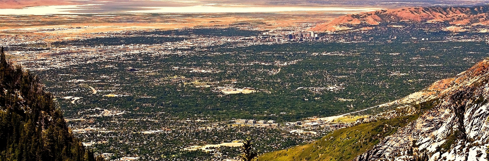
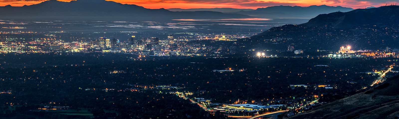
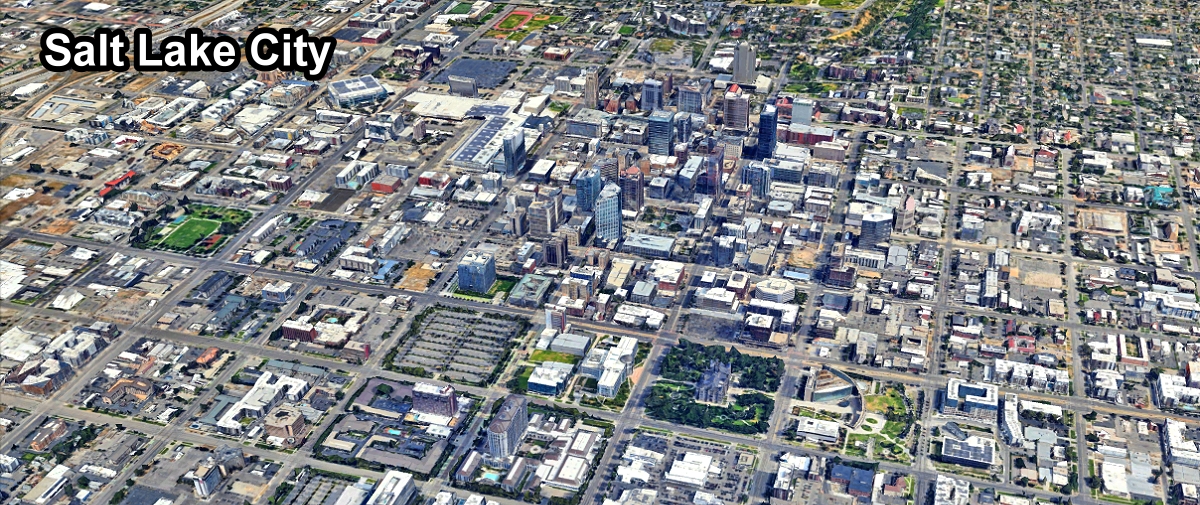
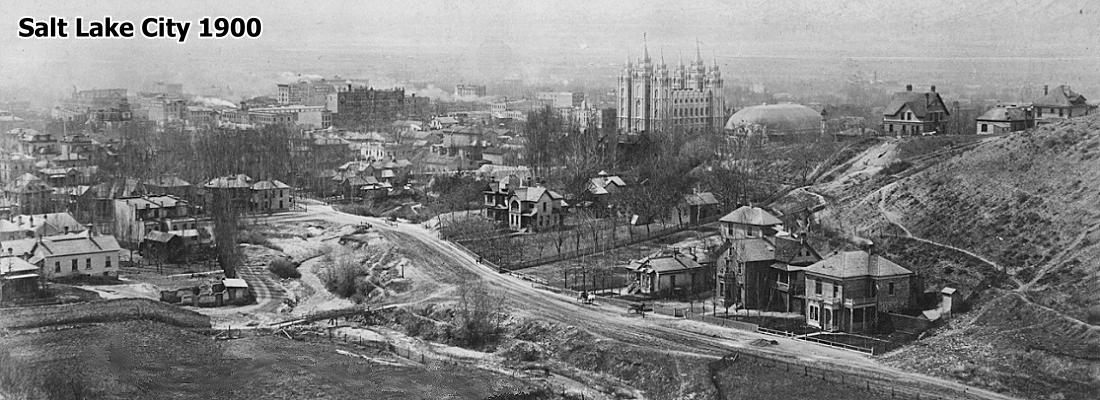
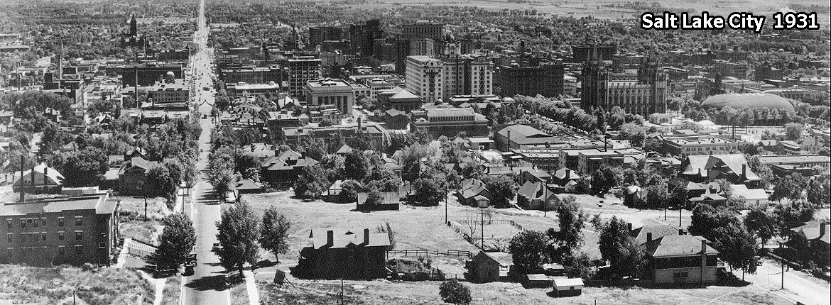
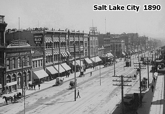
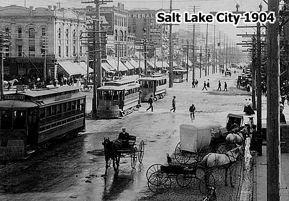
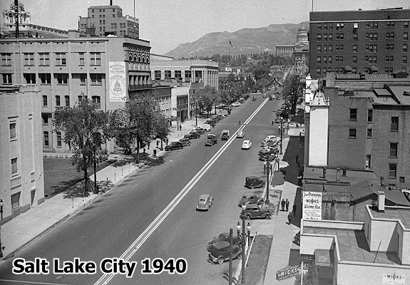
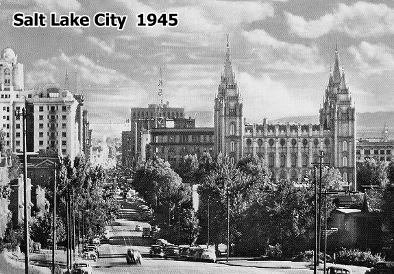
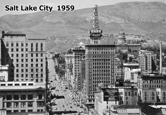
The fertile Salt Lake Valley lies between the Wasatch Mountains on the east and the Oquirrhs on the west. The active Wasatch Fault runs through the eastern part of the county. The Jordan River flows north through the valley to Great Salt Lake, and canyon streams provide culinary and agricultural water and in pioneer times powered mills. Centuries before white settlement of the area, prehistoric Indian groups and the historic Northern Shoshone and Ute Indians used the area for hunting, fishing, and gathering seasonal foods. Permanent settlement began in 1847 with the arrival of the first Mormon wagon train. Brigham Young's direction explored nearby areas, built a fort, and surveyed Salt Lake City. Tens of thousands of Mormon immigrants funneled through Salt Lake City to outlying settlements, and, additionally, the city was the last major supply point for thousands of California-bound travelers. As the headquarters of the LDS Church and later the territorial and state capital. Until statehood in 1896 the Mormon-Gentile conflict was intense. Industrial development in the late nineteenth and early twentieth centuries brought ethnic diversity with the arrival of many southern and eastern Europeans, blacks, Chinese, Japanese, and Mexicans. The migration of Native Americans to the larger cities and the recent immigration of southeast Asians and others continue the trend. Although cities and suburbs now cover much of the land, the county retains traces of its agricultural beginning as a producer of eggs, hogs, wheat, and garden vegetables.

Click To See The Full Size Photos Below:

Click Below To See:

Click Below To See The Full Size Photo:


Click Below To See The Full Size Photo:


Click Below To See The Full Size Photo:


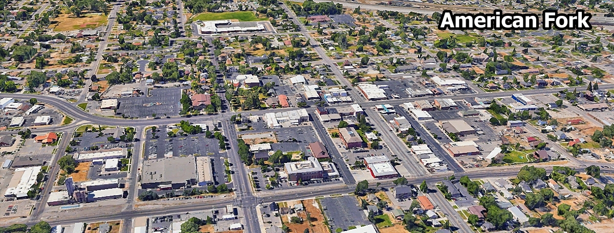
American Fork ... 38,549
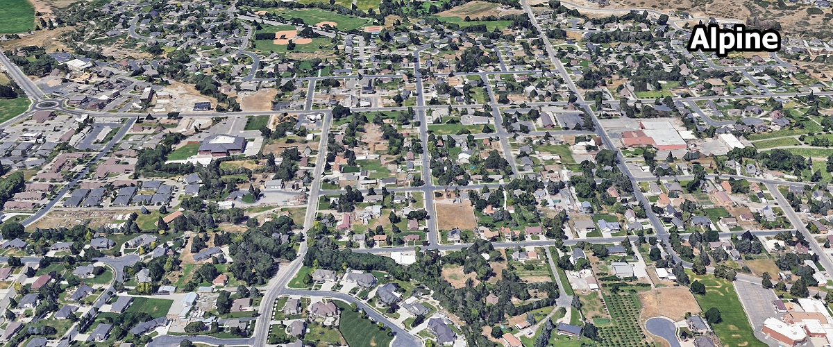
Alpine ... 10,298
Aurora ... 1,038

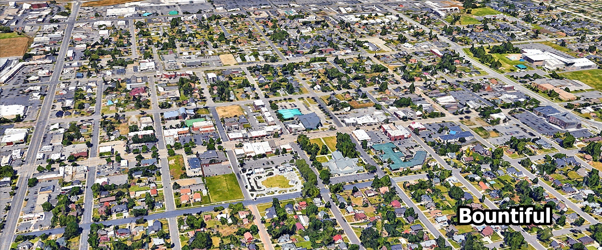
Bountiful ... 44,144
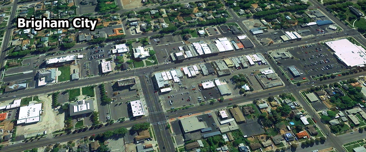
Brigham City ... 19,970
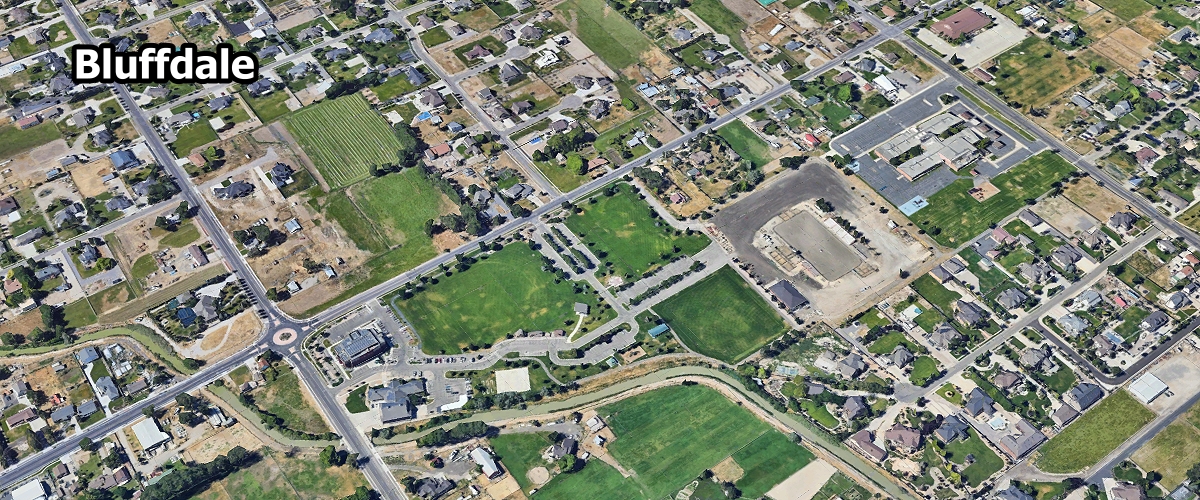
Bluffdale ... 19,090
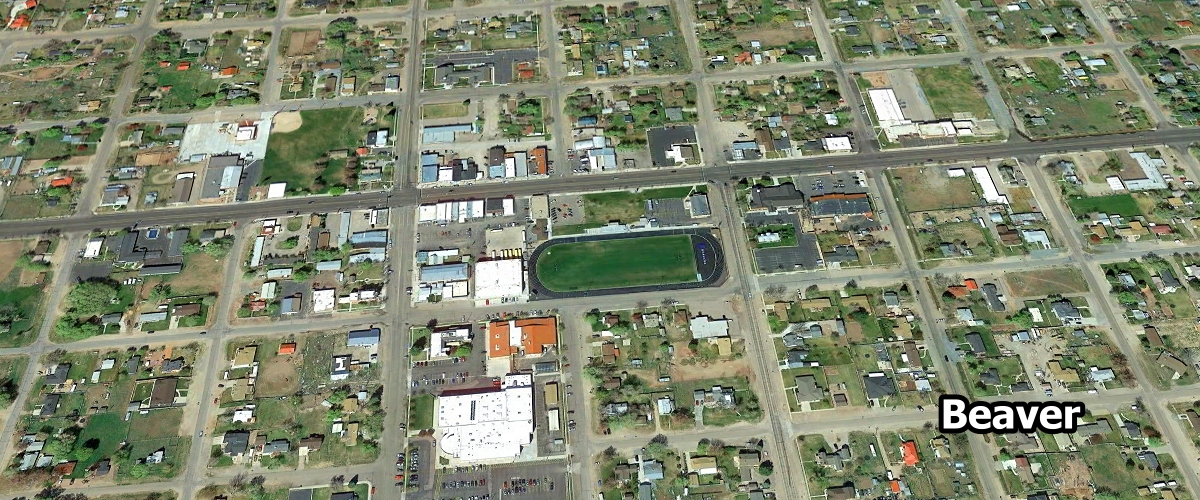
Beaver ... 3,676
Blanding ... 3,189
Benson ... 1,864
Ballard ... 1,231

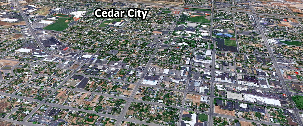
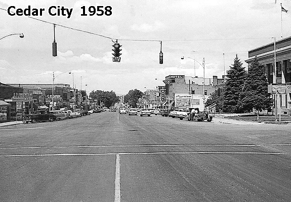
Cedar City ... 39,942
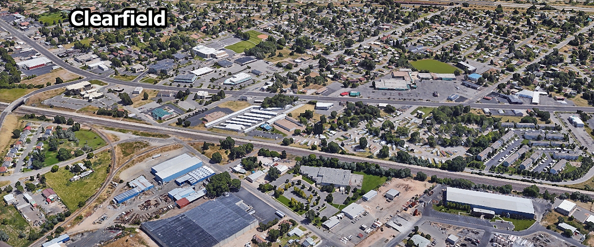
Clearfield ... 34,470
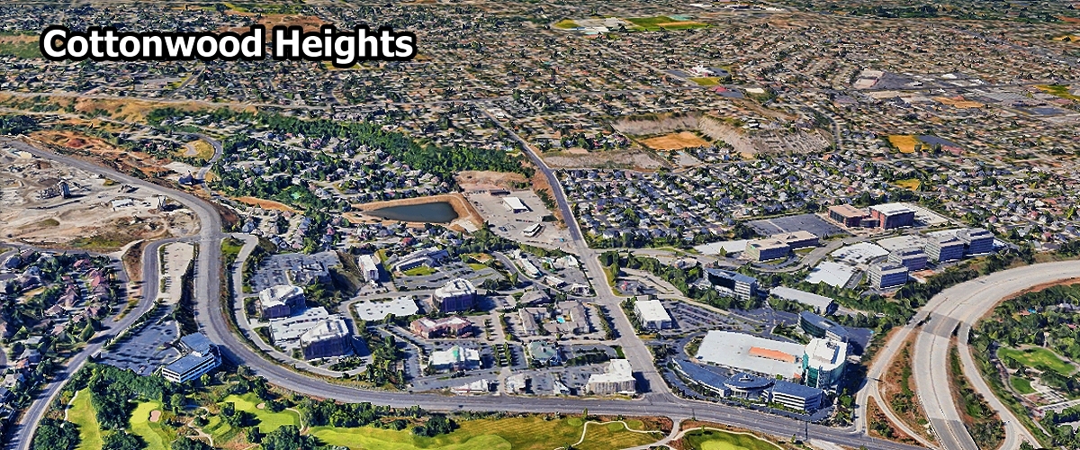
Cottonwood Heights ... 32,204
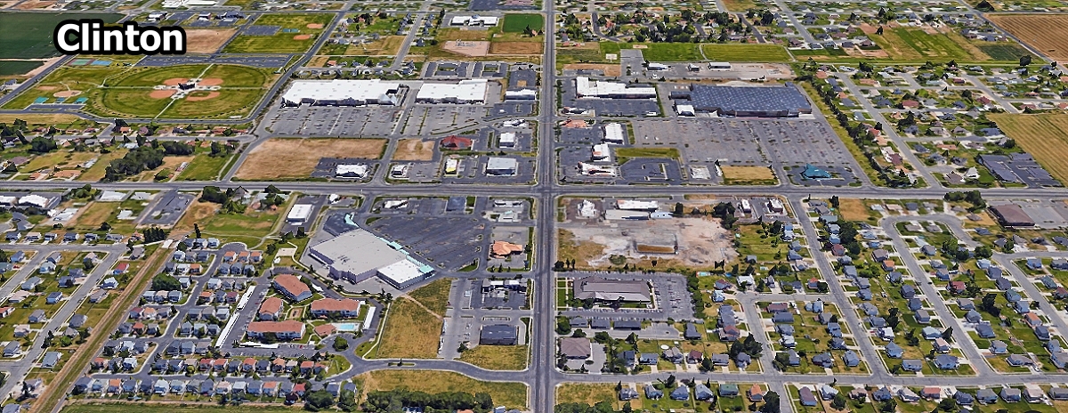
Clinton ... 23,588
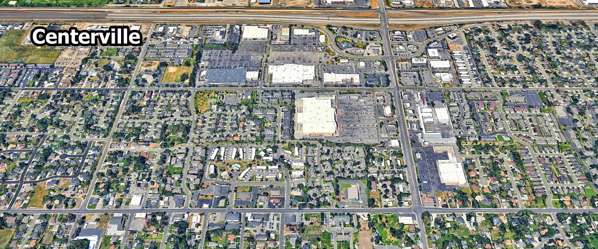
Centerville ... 16,517
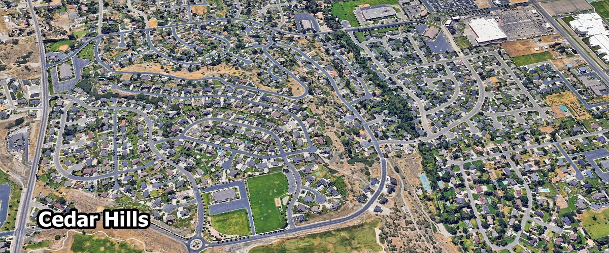
Cedar Hills ... 9,800
Castle Dale ... 1,538
Coalville ... 1,533
Centerfield ... 1,419
Carbonville ... 1,410

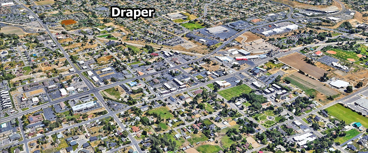
Draper ... 49,600
Delta ... 3,728
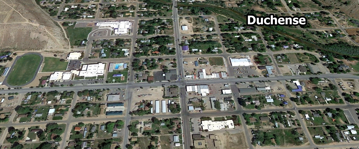
Duchesne ... 1,643

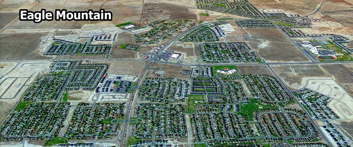
Eagle Mountain ... 56,932
Enoch ... 8,336
Ephraim ... 6,108
Elk Ridge ... 4,925
Erda ... 4,045
East Basin ... 3,613
Enterprise ... 2,289
Emigration Canyon ... 1,506
East Carbon ... 1,567
Elwood ... 1,280

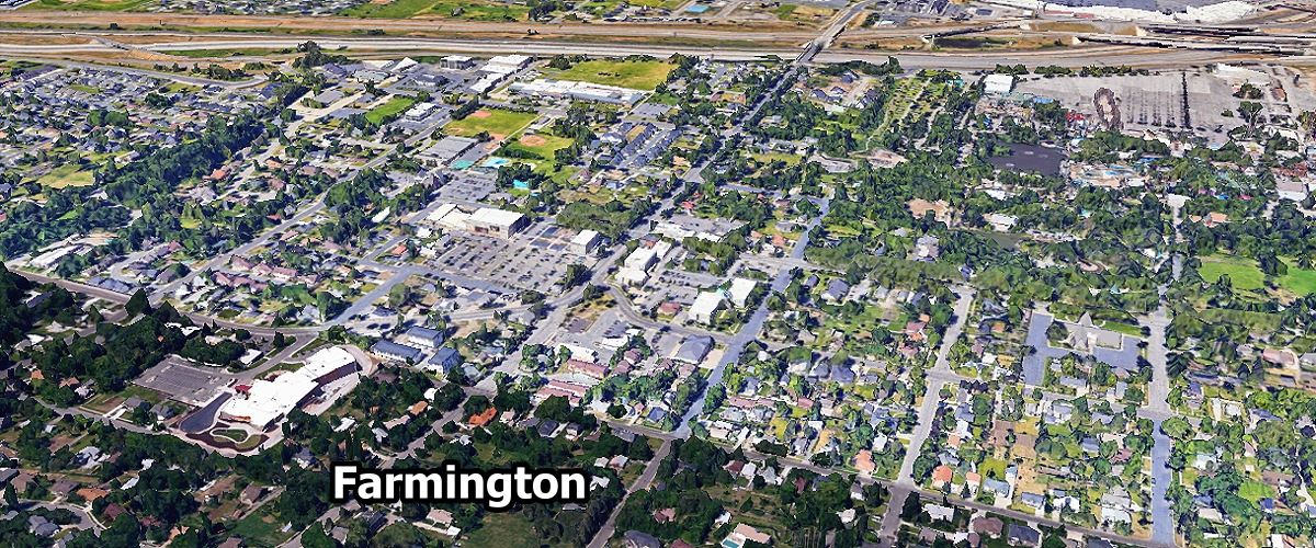
Farmington ... 25,770
Farr West ... 8,021
Fruit Heights ... 5,950
Fillmore ... 2,671
Francis ... 1,809
Ferron ... 1,519
Fairview ... 1,281
Fountain Green ... 1,276

Grantsville ... 15,267
Gunnison ... 3,621
Garland ... 2,668
Genola ... 1,610

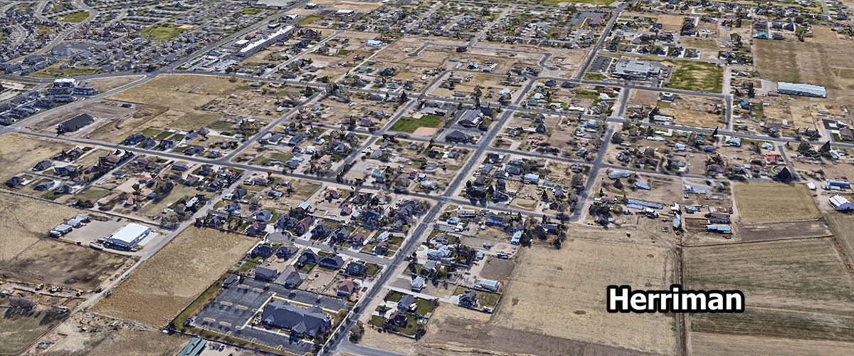
Herriman ... 60,049
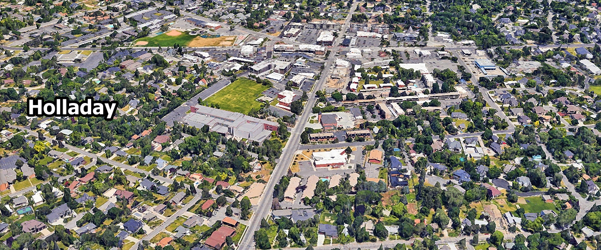
Holladay ... 30,298
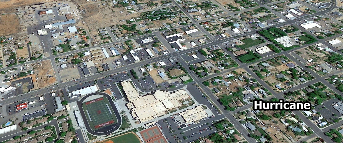
Hurricane ... 23,959
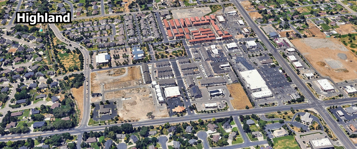
Highland ... 20,217
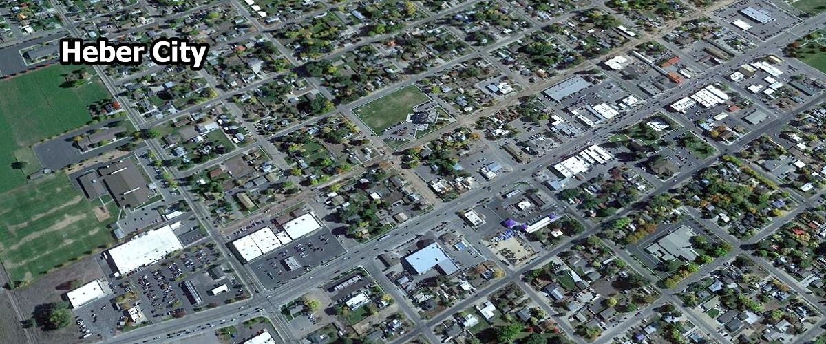
Heber ... 18,533
Hyrum ... 10,849
Hooper ... 9,369
Harrisville ... 6,802
Hyde Park ... 5,677
Helper ... 2,126
Huntington ... 1,982
Honeyville ... 1,736
Hideout ... 1,398
Hildale ... 1,239

Ivins ... 10,164

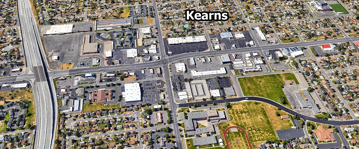
Kearns ... 37,767
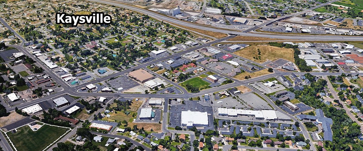
Kaysville ... 32,941
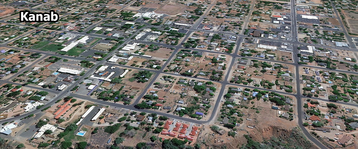
Kanab ... 5,240
Kamas ... 2,145

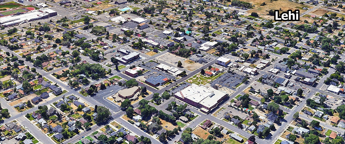
Lehi ... 90,227
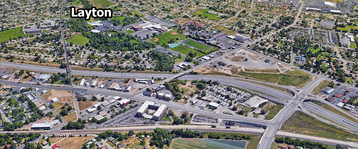
Layton ... 83,516
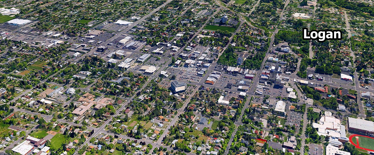
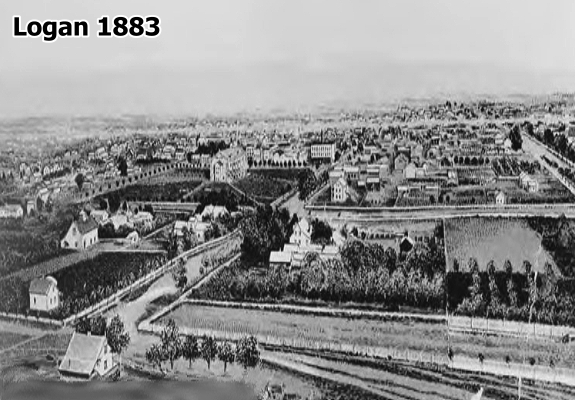
Logan ... 55,250
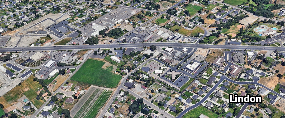
Lindon ... 11,734
La Verkin ... 4,510
Lake Point ... 2,635
Lewiston ... 1,958
Liberty ... 1,333
Lake Shore ... 1,242

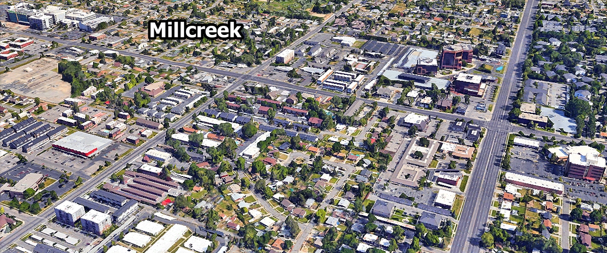
Millcreek ... 62,205
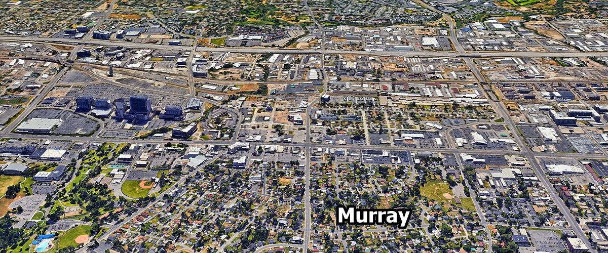
Murray ... 49,553
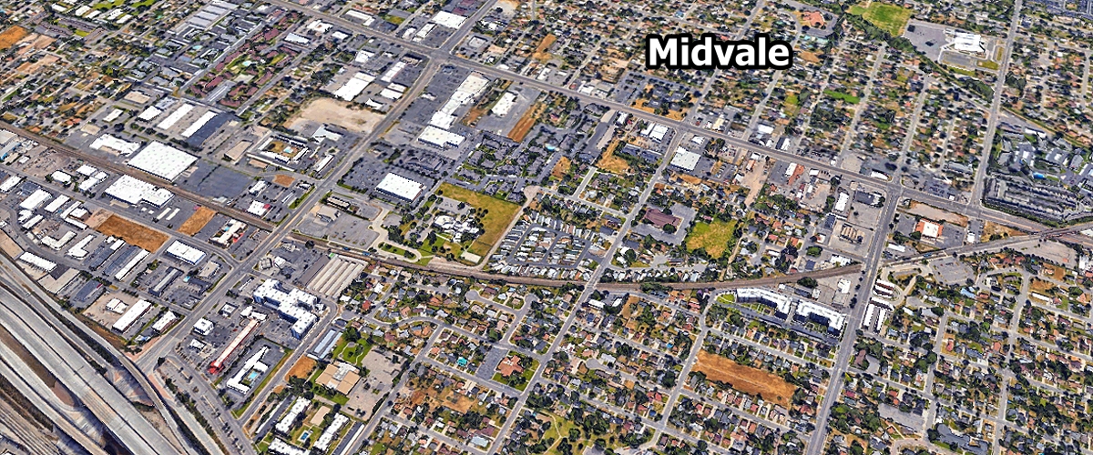
Midvale ... 35,561
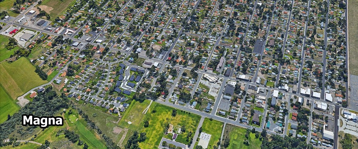
Magna ... 30,087
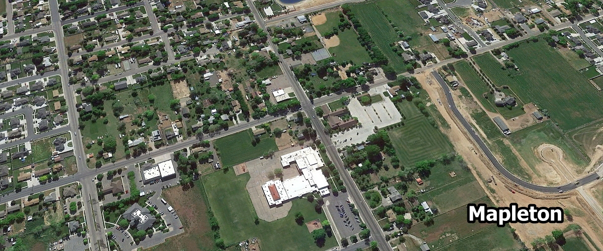
Mapleton ... 13,732
Midway ... 6,076
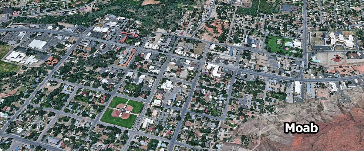
Moab ... 5,221
Morgan ... 4,536
Maeser ... 4,533
Mount Pleasant ... 3,871
Mountain Green ... 3,739
Manti ... 3,645
Monroe ... 2,685
Millville ... 2,468
Marriott-Slaterville ... 2,223
Mona ... 1,935
Monticello ... 1,729
Moroni ... 1,642
Milford ... 1,412
Mendon ... 1,334
Mantua ... 1,303

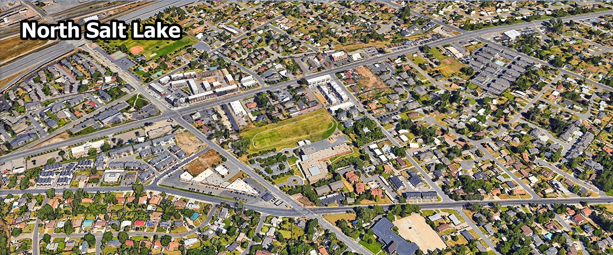
North Salt Lake ... 23,560
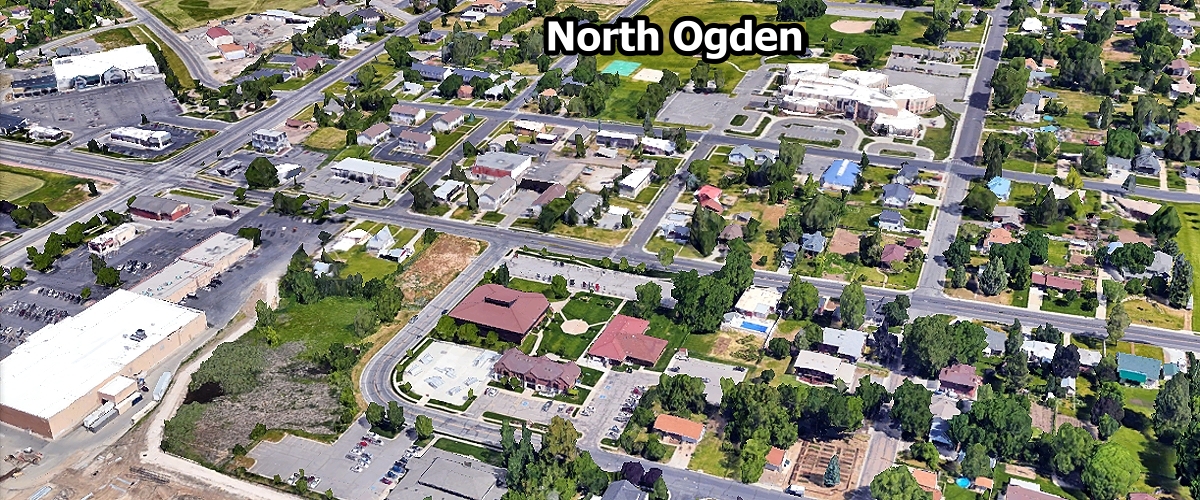
North Ogden ... 22,233
North Logan ... 11,711
Nibley ... 8,271
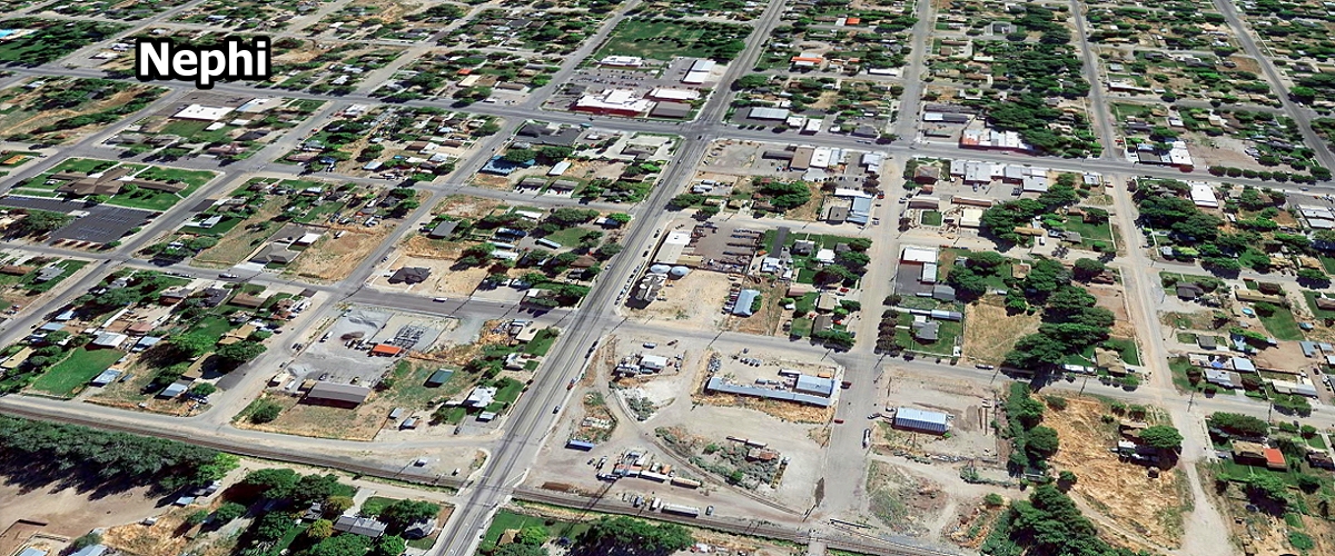
Nephi ... 7,122
Naples ... 2,466

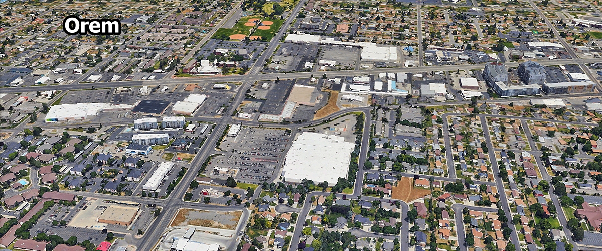
Orem ... 95,519
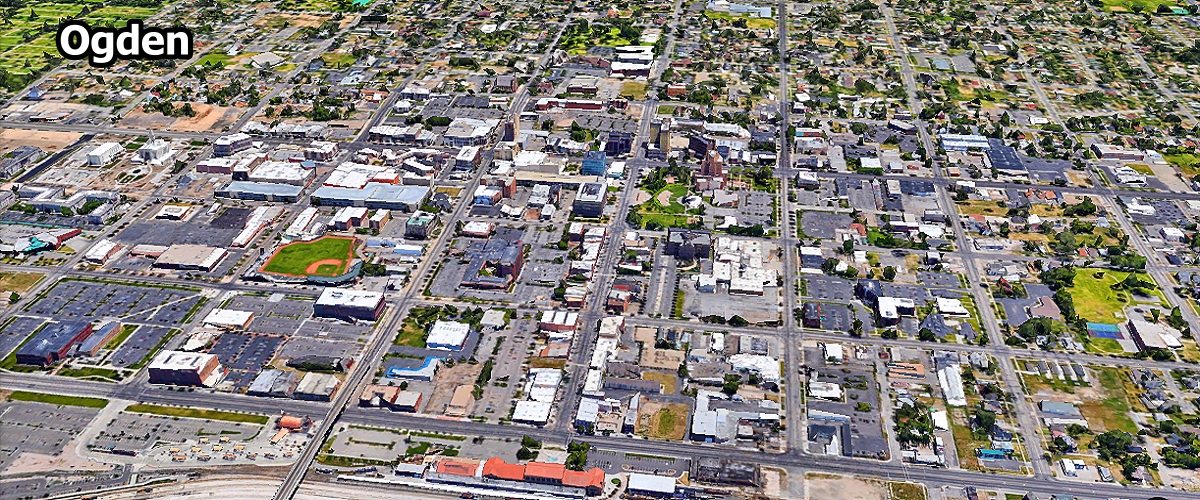
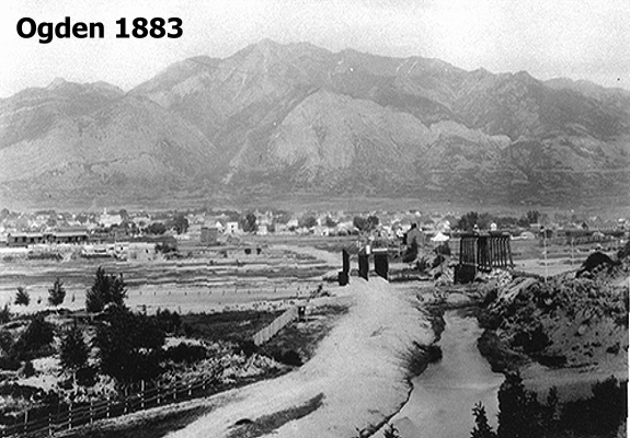
Ogden ... 87,267
Oakley ... 1,566
Orangeville ... 1,262

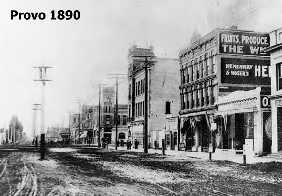
Provo ... 113,343
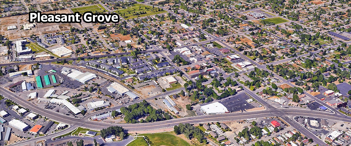
Pleasant Grove ... 37,294
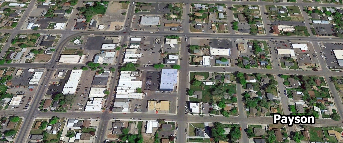
Payson ... 24,054
Pleasant View ... 11,265
Providence ... 9,267
Plain City ... 8,531
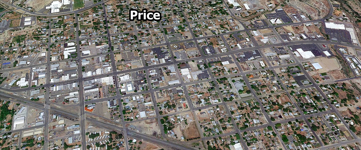
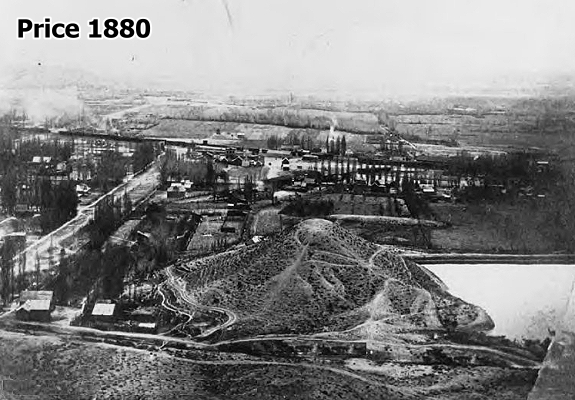
Price ... 8,261
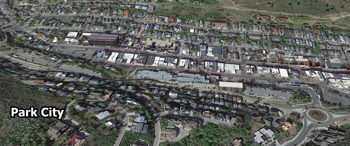
Park City ... 8,254
Perry ... 5,936
Parowan ... 3,181
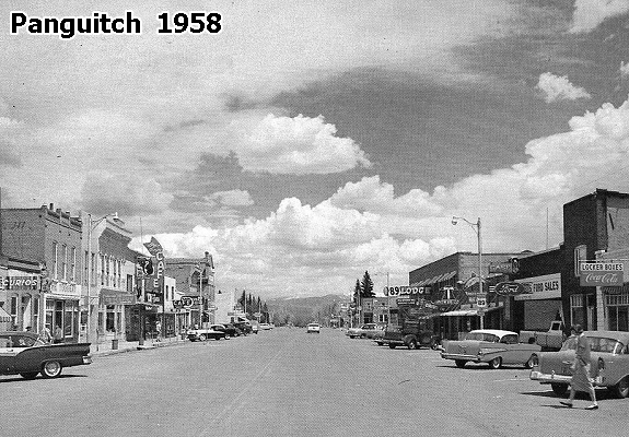
Panguitch ... 1,797
Paradise ... 1,028

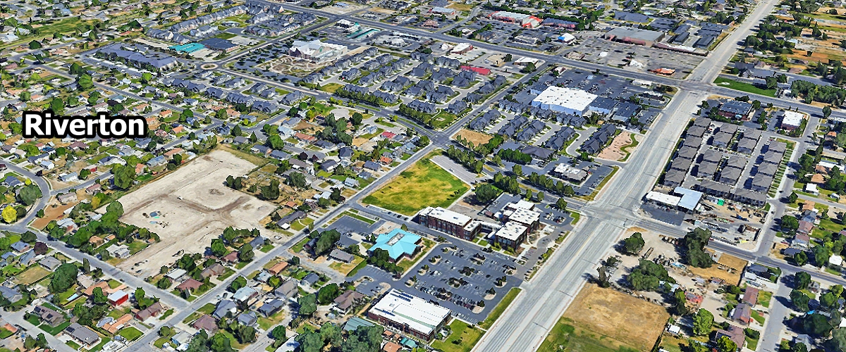
Riverton ... 44,854
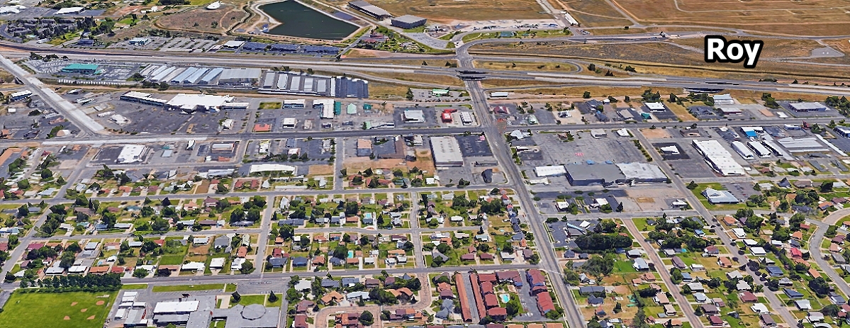
Roy ... 38,592
Riverdale ... 9,160
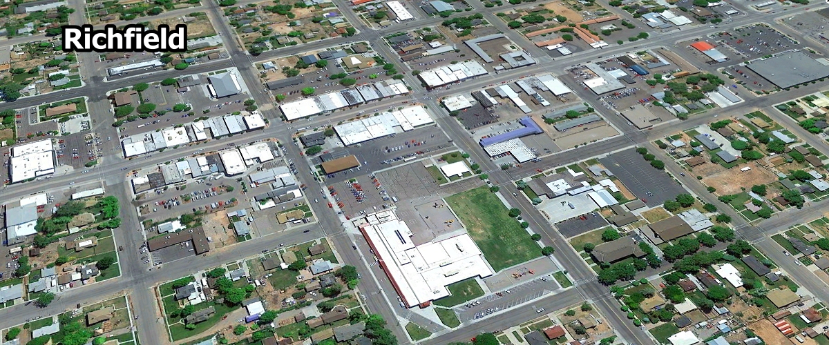
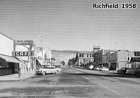
Richfield ... 8,268
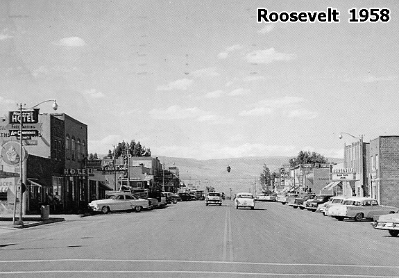
Roosevelt ... 7,224
Richmond ... 3,032
River Heights ... 2,180
Riverside ... 1,238
Rocky Ridge ... 1,018

Salt Lake City ... 209,593
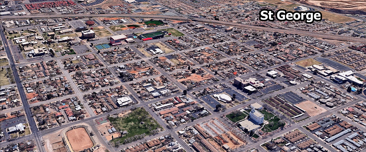
St George ... 104,578
Sandy ... 91,943
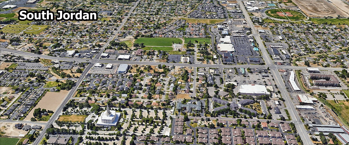
South Jordan ... 84,528
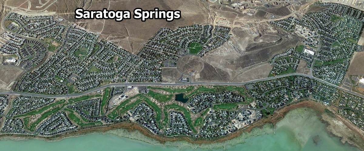
Saratoga Springs ... 52,532
Spanish Fork ... 45,554
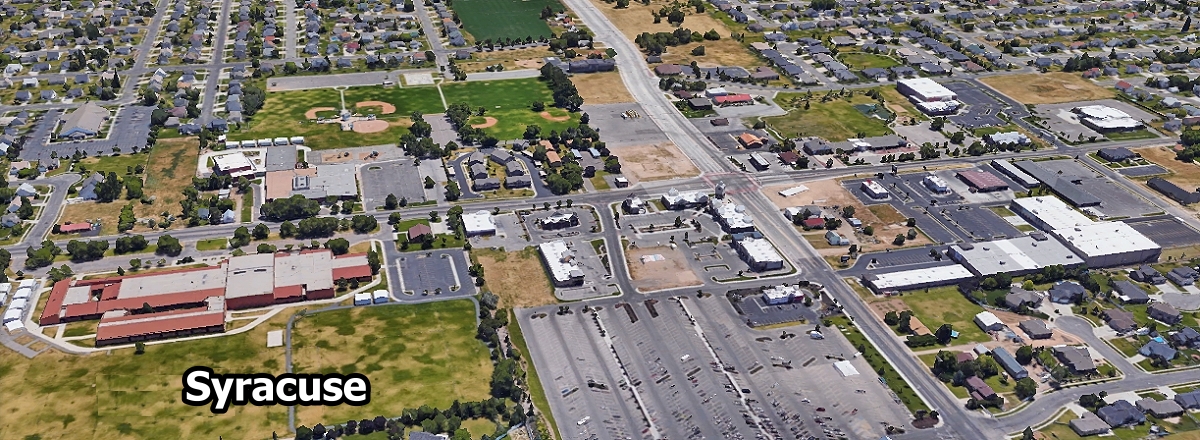
Syracuse ... 37,022
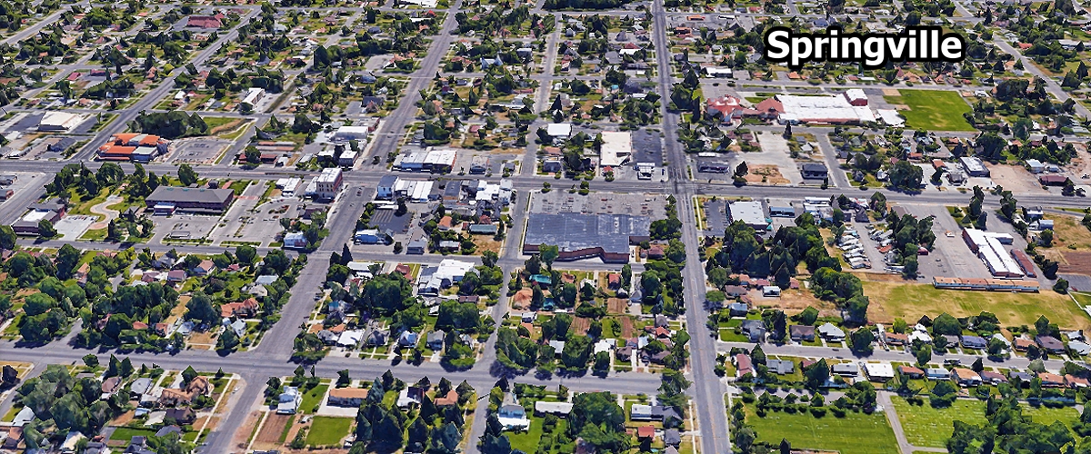
Springville ... 35,471
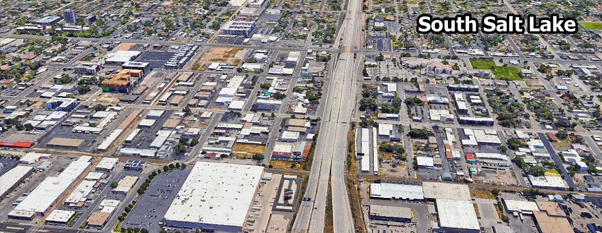
South Salt Lake ... 26,122
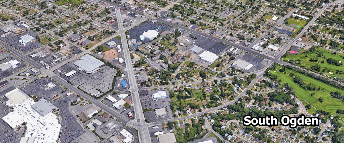
South Ogden ... 17,678
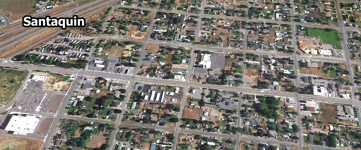
Santaquin ... 17,532
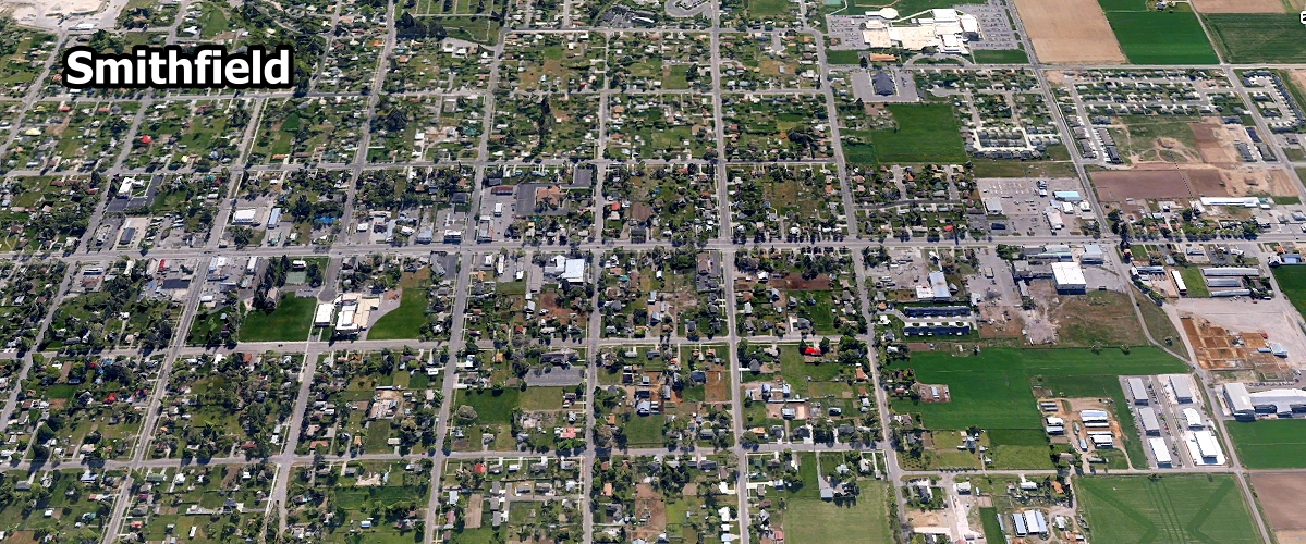
Smithfield ... 14,726
Stansbury Park ... 11,163
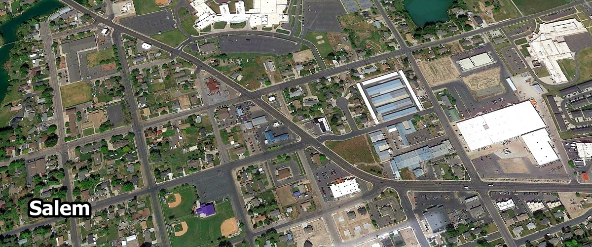
Salem ... 10,725
Summit Park ... 8,545
Santa Clara ... 8,492
South Weber ... 8,105
Snyderville ... 6,143
Sunset ... 5,358
Salina ... 2,592
Silver Summit ... 1,574
South Willard ... 1,378
Spring City ... 1,007

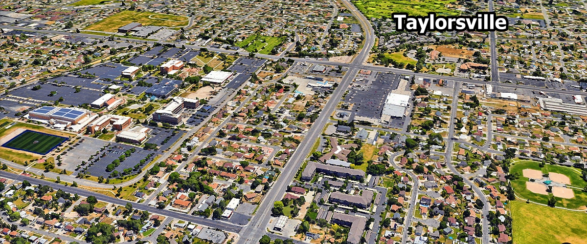
Taylorsville ... 57,098
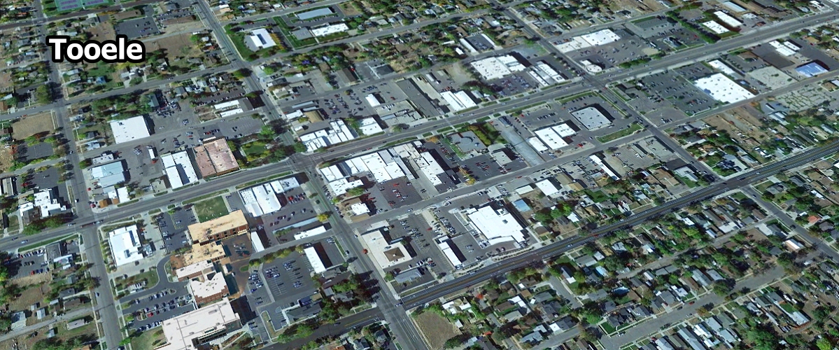
Tooele ... 39,263
Tremonton ... 12,411
Toquerville ... 1,970
Thatcher ... 1,094

Uintah ... 1,402

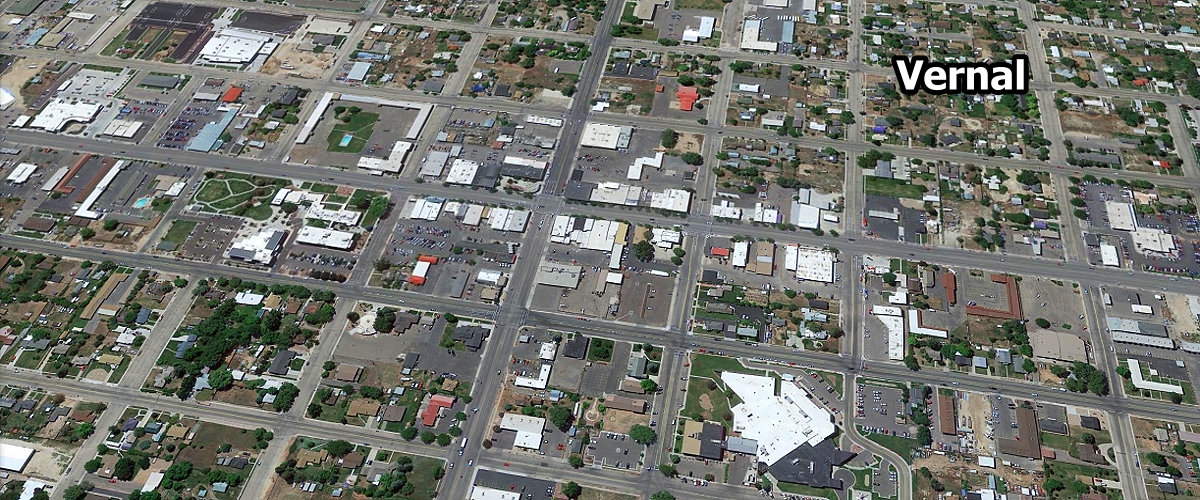
Vernal ... 10,557
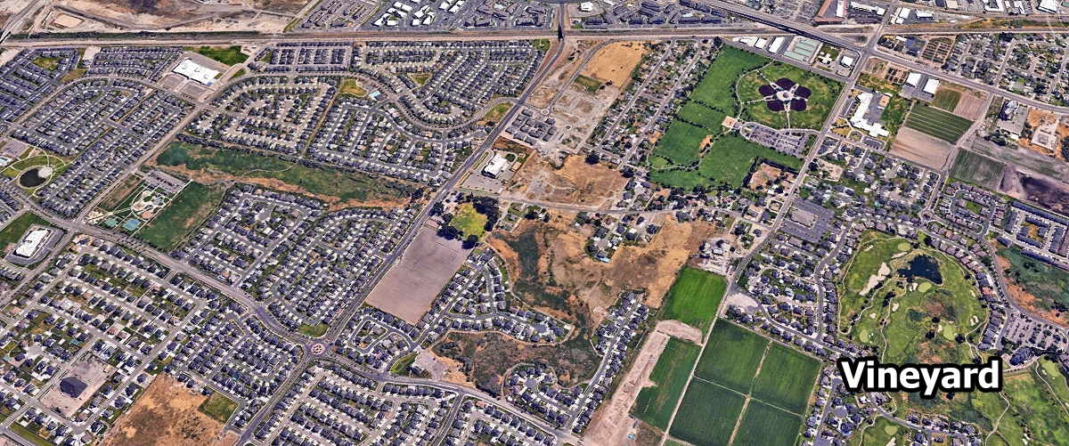
Vineyard ... 14,500

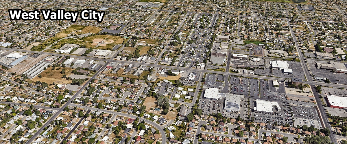
West Valley City ... 134,470
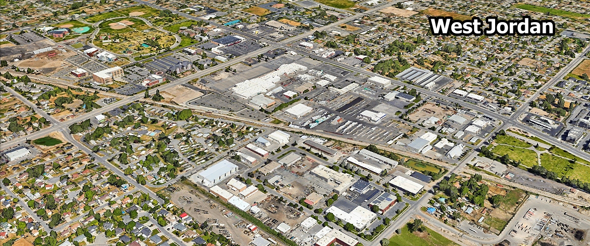
West Jordan ... 114,908
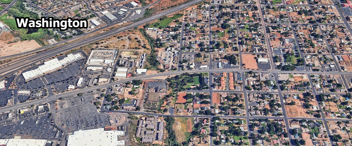
Washington ... 33,877
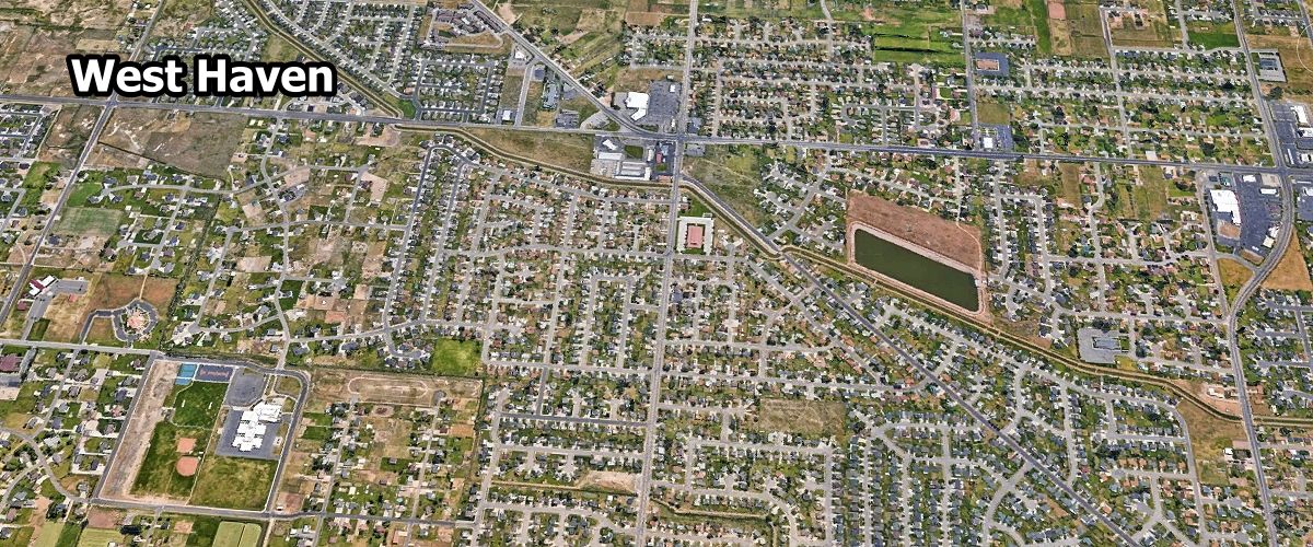
West Haven ... 24,014
West Point ... 12,479
Woods Cross ... 11,480
Washington Terrace ... 9,070
West Bountiful ... 5,857
White City ... 5,676
Wellsville ... 4,194
Willard ... 2,283
Wellington ... 1,630
Wolf Creek ... 1,599
Woodland Hills ... 1,571
West Mountain ... 1,371
Wendover ... 1,132

Alpine ... 4951 feet
Alta ... 8560 feet
Altamont ... 6388 feet
Alton ... 7041 feet
Altonah ... 6673 feet
Amalga ... 4439 feet
American Fork ... 4606 feet
Aneth ... 4511 feet
Annabella ... 5292 feet
Antimony ... 6450 feet
Apple Valley ... 4941 feet
Aurora ... 5200 feet
Avon ... 5020 feet
Ballard ... 5049 feet
Bear River City ... 4258 feet
Beaver ... 5902 feet
Beaver Dam ... 4541 feet
Benjamin ... 4534 feet
Benson ... 4429 feet
Beryl ... 5154 feet
Bicknell ... 7123 feet
Big Water ... 4108 feet
Birdseye ... 5430 feet
Blanding ... 6106 feet
Blue Creek ... 4701 feet
Bluebell ... 6201 feet
Bluff ... 4324 feet
Bluffdale ... 4436 feet
Bonanza ... 5436 feet
Bothwell ... 4331 feet
Boulder ... 6699 feet
Bountiful ... 4373 feet
Brendel ... 4898 feet
Brian Head ... 9800 feet
Brigham City ... 4436 feet
Bryce Canyon City ... 7664 feet
Cache Junction ... 4449 feet
Caineville ... 4600 feet
Callao ... 4337 feet
Cannonville ... 5886 feet
Canyon Glen ... 5016 feet
Castle Dale ... 5676 feet
Castle Valley ... 4685 feet
Cedar City ... 5846 feet
Cedar Creek ... 5161 feet
Cedar Fort ... 5085 feet
Cedar Hills ... 4957 feet
Centerfield ... 5098 feet
Centerville ... 4380 feet
Central ... 5253 feet
Central Valley ... 5305 feet
Charleston ... 5440 feet
Circleville ... 6066 feet
Clarkston ... 4879 feet
Clawson ... 5942 feet
Clearfield ... 4465 feet
Cleveland ... 5722 feet
Clinton ... 4393 feet
Coalville ... 5586 feet
College Ward ... 4495 feet
Collinston ... 4432 feet
Colton ... 7237 feet
Copperton ... 5500 feet
Corinne ... 4226 feet
Cornish ... 4485 feet
Cottonwood Heights ... 4823 feet
Croydon ... 5344 feet
Daniel ... 5715 feet
Delle ... 4258 feet
Delta ... 4639 feet
Deseret ... 4590 feet
Deweyville ... 4337 feet
Draper ... 4505 feet
Duchesne ... 5518 feet
Dugway ... 4842 feet
Dutch John ... 6371 feet
East ... Carbon 6296 feet
Echo ... 5459 feet
Eden ... 4947 feet
Edgemont ... 4793 feet
Elberta ... 4701 feet
Elk Ridge ... 5354 feet
Elmo ... 5692 feet
Elsinore ... 5351 feet
Elwood ... 4298 feet
Emery ... 6253 feet
Enoch ... 5545 feet
Enterprise ... 5318 feet
Ephraim ... 5541 feet
Erda ... 4344 feet
Escalante ... 5820 feet
Eskdale ... 4984 feet
Etna ... 5223 feet
Eureka ... 6430 feet
Fairfield ... 4879 feet
Fairview ... 5948 feet
Farmington ... 4304 feet
Farr West ... 4265 feet
Fayette ... 5052 feet
Ferron ... 5971 feet
Fielding ... 4373 feet
Fillmore ... 5134 feet
Fort Duchesne ... 4990 feet
Fountain Green ... 5899 feet
Francis ... 6560 feet
Fremont ... 7241 feet
Fruit Heights ... 4698 feet
Fruitland ... 6624 feet
Gandy ... 4951 feet
Garden City ... 5968 feet
Garland ... 4340 feet
Garrison ... 5276 feet
Genola ... 4600 feet
Glendale ... 5777 feet
Glenwood ... 5272 feet
Goshen ... 4550 feet
Granite ... 5131 feet
Grantsville ... 4304 feet
Green River ... 4075 feet
Greenville ... 5666 feet
Greenwich ... 6854 feet
Grouse Creek ... 5331 feet
Grover ... 7116 feet
Gunlock ... 3658 feet
Gunnison ... 5138 feet
Halchita ... 4380 feet
Halls Crossing ... 3842 feet
Hamilton’s Fort ... 5568 feet
Hanksville ... 4288 feet
Hanna ... 6765 feet
Harrisville ... 4291 feet
Hatch ... 6919 feet
Heber ... 5600 feet
Helper ... 5817 feet
Henefer ... 5337 feet
Henrieville ... 5997 feet
Herriman ... 4944 feet
Hideout ... 6184 feet
Highland ... 4980 feet
Hildale ... 5049 feet
Hinckley ... 4603 feet
Holden ... 5102 feet
Holladay ... 4465 feet
Honeyville ... 4298 feet
Hooper ... 4242 feet
Howell ... 4560 feet
Hoytsville ... 5761 feet
Huntington ... 5787 feet
Huntsville ... 4928 feet
Hurricane ... 3248 feet
Hyde Park ... 4537 feet
Hyrum ... 4698 feet
Ibapah ... 5282 feet
Independence ... 7979 feet
Ironton ... 4564 feet
Ivins ... 3081 feet

Jensen ... 4728 feet
Joseph ... 5436 feet
Junction ... 6007 feet
Kamas ... 6473 feet
Kanab ... 4970 feet
Kanarraville ... 5541 feet
Kanosh ... 5020 feet
Kaysville ... 4357 feet
Kearns ... 4531 feet
Kelton ... 4229 feet
Kenilworth ... 6529 feet
Kimball Junction ... 6400 feet
Kingston ... 6017 feet
Koosharem ... 6919 feet
La Sal ... 6978 feet
La Verkin ... 3192 feet
Lake Point ... 4249 feet
Lake Shore ... 4521 feet
Lakeside ... 4222 feet
Laketown ... 5974 feet
Lakeview ... 4531 feet
Lapoint ... 5568 feet
Lawrence ... 5666 feet
Layton ... 4350 feet
Leamington ... 4731 feet
Leeds ... 3481 feet
Lehi ... 4564 feet
Leland ... 4564 feet
Levan ... 5315 feet
Lewiston ... 4508 feet
Liberty ... 5118 feet
Lindon ... 4642 feet
Loa ... 7064 feet
Logan ... 4534 feet
Lucin ... 4478 feet
Lund ... 5085 feet
Lyman ... 7182 feet
Lynn ... 5948 feet
Lynndyl ... 4787 feet
Maeser ... 5600 feet
Magna ... 4278 feet
Mammoth ... 6391 feet
Manila ... 6348 feet
Manti ... 5610 feet
Mantua ... 5200 feet
Mapleton ... 4731 feet
Marian ... 6451 feet
Marriott-Slaterville ... 4252 feet
Marysvale ... 5863 feet
Mayfield ... 5538 feet
Meadow ... 4839 feet
Mendon ... 4495 feet
Mexican Hat ... 4245 feet
Middleton ... 2848 feet
Midvale ... 4383 feet
Midway ... 5594 feet
Milford ... 4967 feet
Millcreek ... 4285 feet
Mills ... 4954 feet
Millville ... 4616 feet
Minersville ... 5282 feet
Moab ... 4026 feet
Modena ... 5476 feet
Mona ... 4970 feet
Monroe ... 5394 feet
Montezuma ... Creek 4423 feet
Monticello ... 7070 feet
Moore ... 6247 feet
Morgan ... 5069 feet
Moroni ... 5531 feet
Mosida ... 4557 feet
Mount Carmel Junction ... 5203 feet
Mount Pleasant ... 5925 feet
Mount Sterling ... 4810 feet
Mountain Green ... 4879 feet
Mountain Home ... 7005 feet
Murray ... 4301 feet
Myton ... 5085 feet
Naples ... 5230 feet
Navajo Mountain ... 6020 feet
Neola ... 6020 feet
Nephi ... 5128 feet
New Harmony ... 5305 feet
Newcastle ... 5312 feet
Newton ... 4534 feet
Nibley ... 4554 feet
North Logan ... 4692 feet
North Ogden ... 4501 feet
North Salt Lake ... 4337 feet
Nunns ... 5111 feet
Oak City ... 5111 feet
Oakley ... 6517 feet
Oasis ... 4590 feet
Ogden ... 4301 feet
Olmstead ... 4849 feet
Ophir ... 6496 feet
Orangeville ... 5777 feet
Orderville ... 5449 feet
Orem ... 4774 feet
Palmyra ... 4524 feet
Panguitch ... 6624 feet
Panguitch Lake ... 8235 feet
Paradise ... 4902 feet
Paragonah ... 5879 feet
Park City ... 6980 feet
Park Valley ... 5548 feet
Parley Park ... 6980 feet
Parley Summit ... 7120 feet
Parowan ... 6014 feet
Partoun ... 4800 feet
Payson ... 4652 feet
Penrose ... 4268 feet
Peoa ... 6192 feet
Perry ... 4367 feet
Petersboro ... 4475 feet
Peterson ... 4885 feet
Pine Valley ... 6535 feet
Pintura ... 4088 feet
Plain City ... 4242 feet
Pleasant Grove ... 4623 feet
Pleasant Valley ... 4780 feet
Pleasant View ... 4400 feet
Plymouth ... 4488 feet
Portage ... 4367 feet
Porterville ... 5151 feet
Price ... 5564 feet
Providence ... 4596 feet
Provo ... 4550 feet
Randlett ... 4816 feet
Randolph ... 6283 feet
Redmond ... 5105 feet
Reese ... 4222 feet
Richfield ... 5354 feet
Richmond ... 4610 feet
Richville ... 5115 feet
River Heights ... 4580 feet
Riverdale ... 4370 feet
Riverside ... 4363 feet
Riverton ... 4436 feet
Rockville ... 3740 feet
Rocky Ridge ... 4990 feet
Roosevelt ... 5095 feet
Rosette ... 5686 feet
Roy ... 4541 feet
Rush Valley ... 5043 feet
St George ... 2700 feet
Salem ... 4610 feet
Salina ... 5161 feet
Salt Lake City ... 4265 feet
Samak 6857 ... feet
Sandy 4465 ... feet
Santa Clara ... 2762 feet
Santaquin ... 4984 feet
Saratoga Springs ... 4505 feet
Scipio ... 5315 feet
Scofield ... 7713 feet
Sevier ... 5584 feet
Sigurd ... 5226 feet
Smithfield ... 4603 feet
Snowville ... 4547 feet
Snyderville ... 6554 feet
South Jordan ... 4439 feet
South Ogden ... 4449 feet
South Salt Lake ... 4255 feet
South Weber ... 4511 feet
South Willard ... 4331 feet
Spanish Fork ... 4577 feet
Spanish Valley ... 4800 feet
Spring City ... 5827 feet
Spring Lake ... 4731 feet
Springdale ... 3898 feet
Springville ... 4580 feet
Standrod ... 5768 feet
Stansbury Park ... 4295 feet
Sterling ... 5574 feet
Stockton ... 5118 feet
Stoddard ... 5023 feet
Summit ... 5984 feet
Summit Park ... 7000 feet
Sunnyside ... 6519 feet
Sunset ... 4511 feet
Syracuse ... 4285 feet
Tabiona ... 6522 feet
Talmage ... 6834 feet
Taylor ... 4239 feet
Taylorsville ... 4298 feet
Teasdale ... 7146 feet
Terra ... 5213 feet
Terrace ... 4550 feet
Thatcher ... 4331 feet
Thistle ... 5043 feet
Thompson Springs ... 5138 feet
Timber Lakes ... 7716 feet
Tintic Junction ... 5899 feet
Tooele ... 5043 feet
Toquerville ... 3392 feet
Torrey ... 6837 feet
Tremonton ... 4324 feet
Trenton ... 4462 feet
Tridell ... 5636 feet
Tropic ... 6309 feet
Trout Creek ... 4701 feet
Tucker ... 6227 feet
Uintah ... 4537 feet
Upalco ... 5758 feet
Upton ... 6100 feet
Vernal ... 5328 feet
Vernon ... 5515 feet
Veyo ... 4468 feet
Vineyard ... 4524 feet
Virgin ... 3606 feet
Vivian Park ... 5200 feet
Wales ... 5627 feet
Wallsburg ... 5679 feet
Wanship ... 5852 feet
Warren ... 4219 feet
Washington ... 2792 feet
Washington ... Terrace 4610 feet
Wellington ... 5413 feet
Wellsville ... 4547 feet
Wendover ... 4291 feet
West Bountiful ... 4268 feet
West Haven ... 4272 feet
West Jordan ... 4377 feet
West Point ... 4314 feet
West Valley City ... 4304 feet
West Weber ... 4239 feet
White City ... 4583 feet
White Mesa ... 5305 feet
Whiterocks ... 6033 feet
Wicks ... 4902 feet
Wildwood ... 5226 feet
Willard ... 4350 feet
Woodland ... 6804 feet
Woodland Hills ... 5571 feet
Woodruff ... 6339 feet
Woods Cross ... 4377 feet
Explore Utah was created and is maintained by Explore Utah Online ©2020-2026 (All Rights Reserved) This website was created for the enjoyment of Utah. If you believe copyrighted work is available on this website in a way that constitutes a copyright infringement please contact me for removal. All rights to the images and other materials used belong to their respective owners. I do not claim ownership over any third-party content used. Photos on this website are used for educational purposes only and used with permission and courtesy of: Scott Taylor - Albert Wirtz - Angela Banfield - Catherine Colella - Chase Bartholomew - Danielle Yung - Elliott Hammer - Francisco Ovies - George Gibbs - Greg Kebbekus - Hilary Bralove - Jacob Moogberg - Jim Paton - Jim and Nina Pollock - John Dahlstet - Jay Luber - Jessica Holdaway - John Hammond - John Dahlstet - Logan Selinski - Logan Selinski - Michelle Leale - Mae Thamer - Mark Thompson - Mia & Steve Mestdagh - Michelle Leale - Randy Baumhover - Sven Hähle - Shawn Anthony - Thomas Eckhardt - Thomas Jundt - University Of Utah - Bureau of Land Management - Utah Education Network - Utah History Encyclopedia - Utah League of Cities and Towns - Utah Geological Survey - Ski Utah - Free To Use Photo Websites: Unsplash - Pexels - Freepik - Pixabay - iStock - ShutterStock - Burst - Flickr - PickPik - Rawpixel - HistoryPictureArchive This website contain links to third party websites. The linked sites are not under the control of this website and is not responsible for the contents of any linked website. These links are provided as a convenience only and shall not be construed as an endorsement of, sponsorship of, or affiliated with the linked website ... Send your comments or questions to webmaster@exploreutah.online