




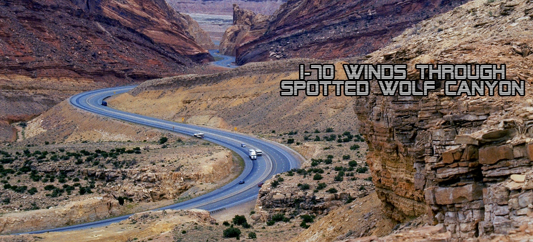
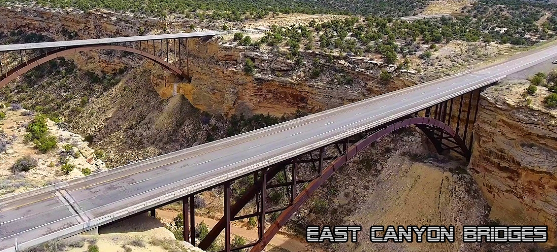
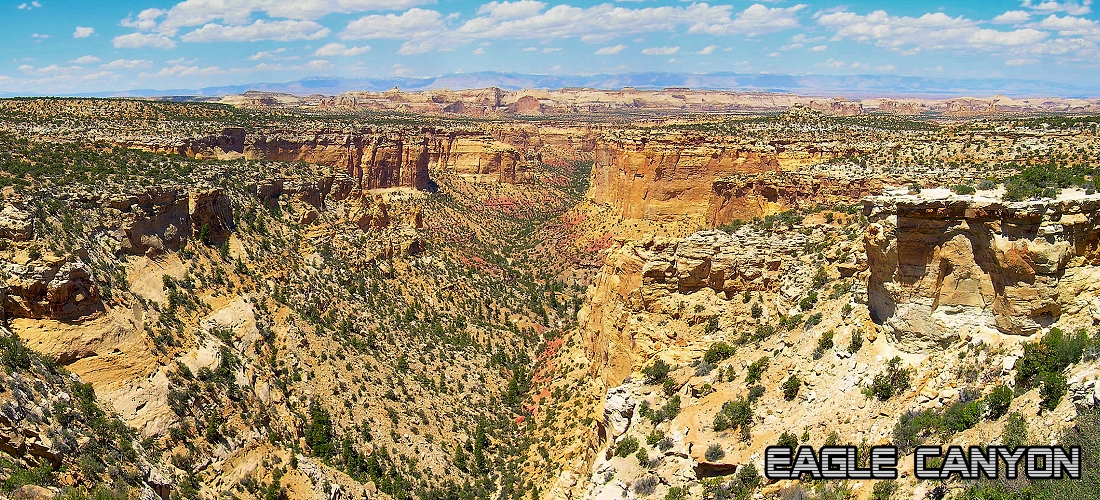
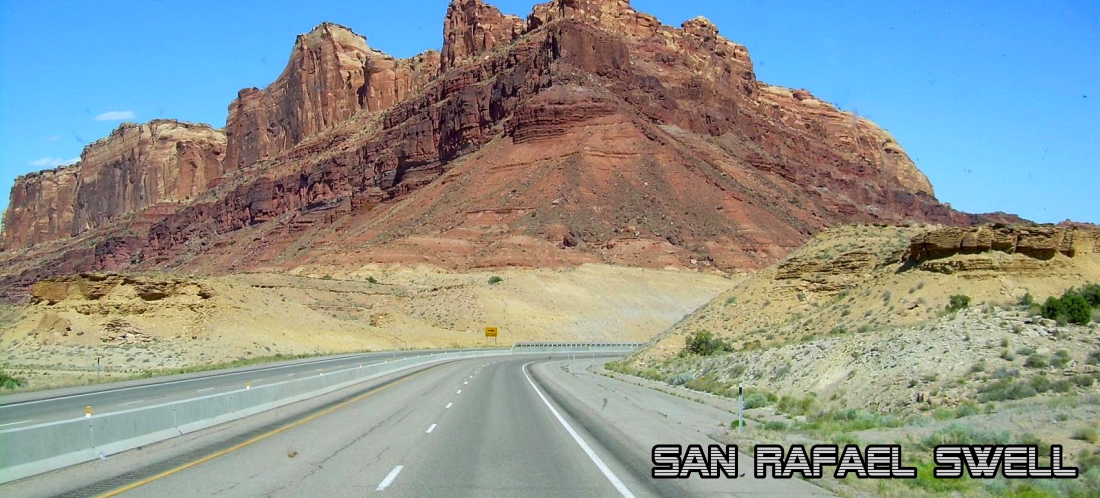
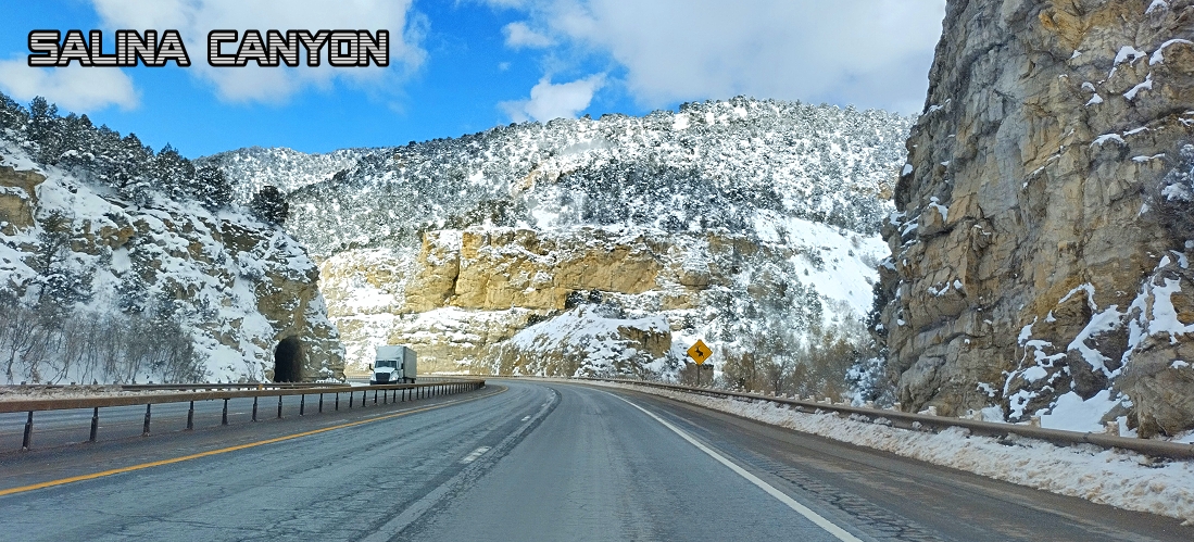
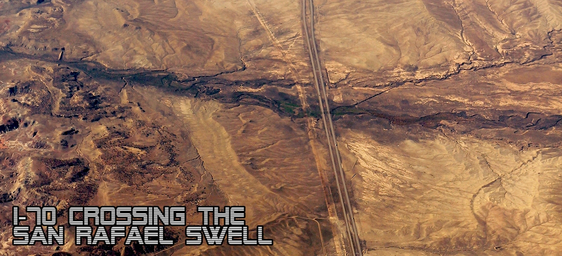
Interstate 70 is a mainline route of the Interstate Highway System in the United States connecting Utah and Maryland. The Utah section runs east–west for approximately 232 miles across the central part of the state. I-70 crosses two major geographic obstacles: the Wasatch Plateau and the San Rafael Swell. The highest elevation on I-70 is 7,886 feet at Emigrant Pass. This pass is the highest point of any of Utah's Interstate Highways. This is a very remote section of I-15. Richfield is the largest Utah city served by the freeway which does not serve or connect any urban areas in the state. After all the years of planning from 1956 to 1970 there is no direct Interstate link between Salt Lake City and Denver. The freeway was built as part of a system of highways connecting Los Angeles to the Northeastern United States. I-70 would also shorten the distance between Los Angeles and Denver by about 200 miles. The Utah portion of I-70 was not completed to Interstate Highway standards until October 1990 when the second Eagle Canyon bridge was dedicated. The new bridge carried westbound traffic while the 1970 bridge switched to eastbound only traffic. Click below for the full size picture (opens in new tab). Reload this page for the most current pictures.
Colorado State Line to Interstate 15

Explore Utah was created and maintained by Explore Utah Online 2020-2026 This website was created for the enjoyment of Utah. Send your comments or questions to webmaster@exploreutah.online
 The live webcam images above are provided by
the Utah Department of Transportation as a public service. Information is published automatically; accuracy cannot be guaranteed.
Availability of information is dependent upon several factors that are beyond the control of the Utah Department of Transportation, such as internet
services, cameras, communications networks, and computer equipment. While information is designed to be delivered in real time, the Utah
Department of Transportation website is only monitored Monday-Friday, 7am-6pm, excluding state holidays. Weather and road conditions change
swiftly; therefore, drivers are in the best position to analyze conditions and adjust their driving accordingly. Those relying on the above
camera information above do so at their own risk. The state of Utah, the Utah Department of Transportation, or Explore Utah Online are not
liable for the accuracy of this information. 29JUN2026
The live webcam images above are provided by
the Utah Department of Transportation as a public service. Information is published automatically; accuracy cannot be guaranteed.
Availability of information is dependent upon several factors that are beyond the control of the Utah Department of Transportation, such as internet
services, cameras, communications networks, and computer equipment. While information is designed to be delivered in real time, the Utah
Department of Transportation website is only monitored Monday-Friday, 7am-6pm, excluding state holidays. Weather and road conditions change
swiftly; therefore, drivers are in the best position to analyze conditions and adjust their driving accordingly. Those relying on the above
camera information above do so at their own risk. The state of Utah, the Utah Department of Transportation, or Explore Utah Online are not
liable for the accuracy of this information. 29JUN2026
