

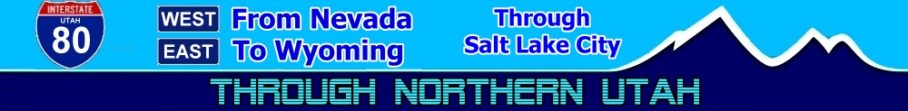
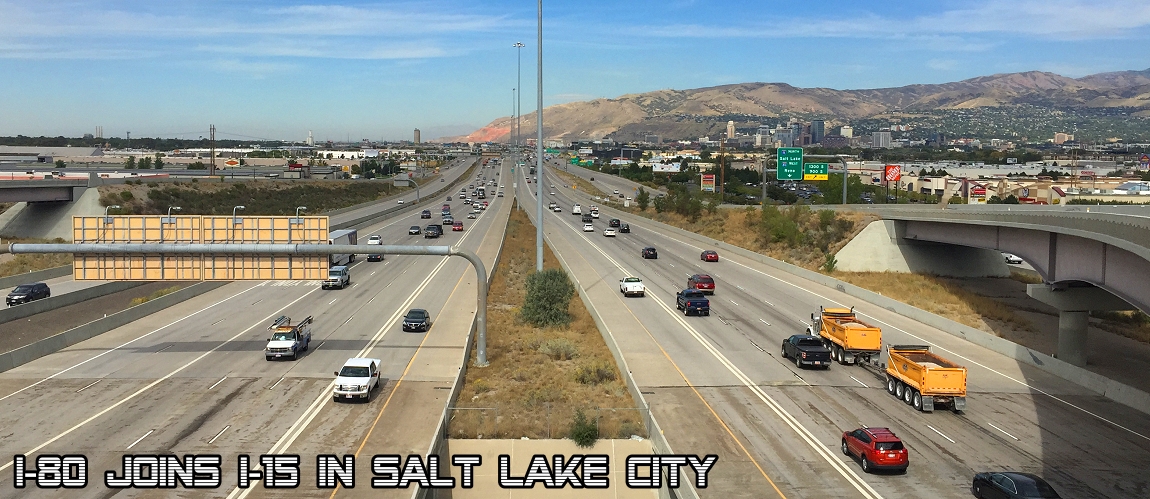
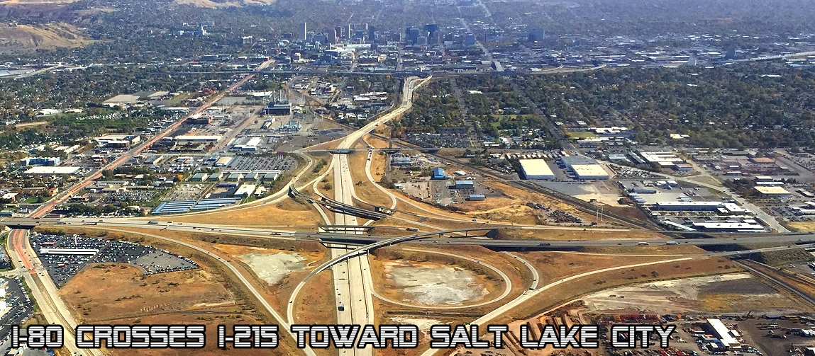
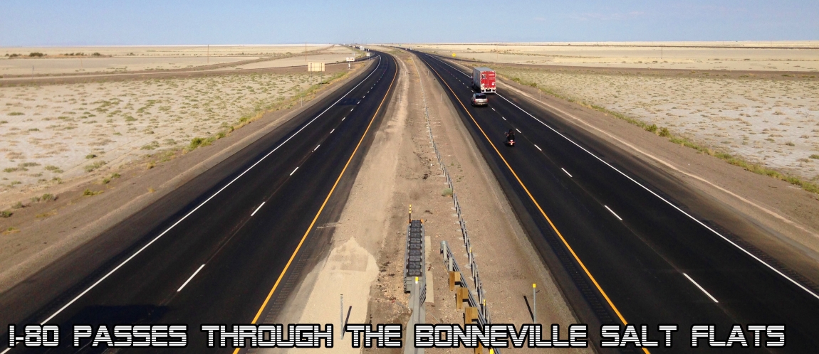
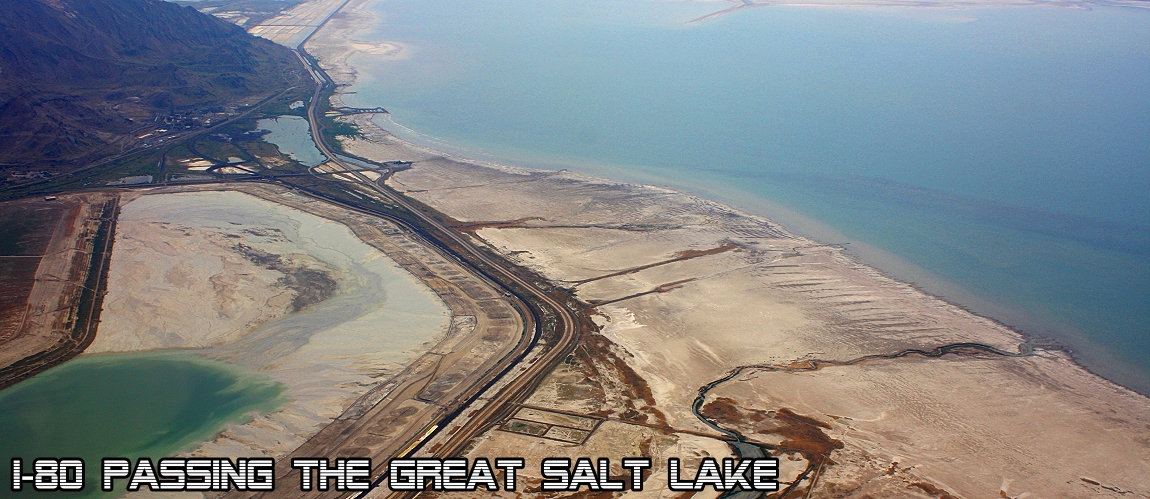
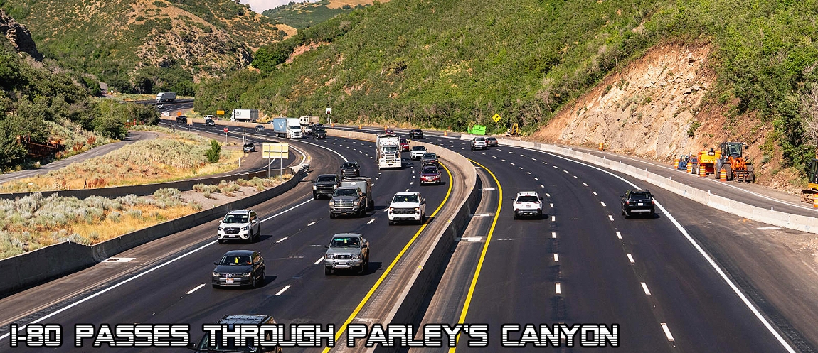
Take a live look down Interstate 80 as it runs 197 miles east and west through northern Utah. Interstate 80 (I-80) is a transcontinental freeway that crosses the United States and runs through 11 states from California to New Jersey connecting 2 oceans. I-80 enters Utah from Nevada in the city of Wendover and traverses the Bonneville Salt Flats which are a part of the larger Great Salt Lake Desert. It continues alongside the corridor of the former Victory Highway US Route 40 (US-40) and the Western Pacific Railroad Feather River Route. The freeway veers north around the Cedar Mountains in a small gap between them and the Lakeside Mountains. Further east the highway passes the Stansbury Mountains which are located in the Wasatch–Cache National Forest. After the mountain ranges the freeway arrives at the southern shore of the Great Salt Lake and closely follows the shore toward the western suburbs of Salt Lake City. It is in this section that I-80 reaches its lowest elevation in Utah, 4,203 feet. I-80 joins with I-15 south and continues south for about three miles passing along the western and southern edges of Downtown Salt Lake City. I-80 then turns east again into Parleys Canyon (the historical route of the Lincoln Highway) and travels through the Wasatch Mountain Range at an elevation of 7,016 feet at Parleys Summit (the highest point on I-80 within the state of Utah) and the Wasatch National Forest and intersects the eastern end of I-84 near Echo Reservoir before turning northeast toward the Wyoming state line. The easternmost section also follows the historical routes of the first transcontinental railroad and US-30S. The highway is also known as the Purple Heart Trail. Click below for the full size picture (opens in new tab). Reload this page for the most current pictures.
Nevada State Line to Salt Lake City
Salt Lake City to Wyoming State Line
Explore Utah was created and maintained by Explore Utah Online 2020-2026 This website was created for the enjoyment of Utah. Send your comments or questions to webmaster@exploreutah.online
 The live webcam images above are provided by
the Utah Department of Transportation as a public service. Information is published automatically; accuracy cannot be guaranteed.
Availability of information is dependent upon several factors that are beyond the control of the Utah Department of Transportation, such as internet
services, cameras, communications networks, and computer equipment. While information is designed to be delivered in real time, the Utah
Department of Transportation website is only monitored Monday-Friday, 7am-6pm, excluding state holidays. Weather and road conditions change
swiftly; therefore, drivers are in the best position to analyze conditions and adjust their driving accordingly. Those relying on the above
camera information above do so at their own risk. The state of Utah, the Utah Department of Transportation, or Explore Utah Online are not
liable for the accuracy of this information. 9JAN2026
The live webcam images above are provided by
the Utah Department of Transportation as a public service. Information is published automatically; accuracy cannot be guaranteed.
Availability of information is dependent upon several factors that are beyond the control of the Utah Department of Transportation, such as internet
services, cameras, communications networks, and computer equipment. While information is designed to be delivered in real time, the Utah
Department of Transportation website is only monitored Monday-Friday, 7am-6pm, excluding state holidays. Weather and road conditions change
swiftly; therefore, drivers are in the best position to analyze conditions and adjust their driving accordingly. Those relying on the above
camera information above do so at their own risk. The state of Utah, the Utah Department of Transportation, or Explore Utah Online are not
liable for the accuracy of this information. 9JAN2026